Download Syria Administrative Boundary Shapefiles – National , Province , District , Sub-Districts and More

Download Syria administrative boundary shapefiles Syria national boundary province district sub-districts-and more

With a vast collection of GIS data covering 150+ countries, each nation offering over 150 datasets, MAPOG is becoming an irreplaceable asset in geospatial industry. Our GIS data collection stands out for its precise representation of administrative divisions and various geographic features like rivers, roads, and airports. Users can access these data from two tools of MAPOG: Download GIS Data and Add GIS Data. Choose from multiple data formats, including Shapefile, KML, GeoJSON, or CSV to download data from Download GIS Data tool. To learn more about the Add GIS Data tool, explore our article “Add GIS data from MAPOG GIS data collection.” In this comprehensive guide, we’ll show you how to download administrative-level GIS data for Syria using the Download GIS Data tool. Take the hassle out of GIS data searching and embark on a smooth geospatial journey with MAPOG as your reliable companion!

Note:

  • All data available are in GCS datum EPSG:4326 WGS84 CRS (Coordinate Reference System).
  • You need to login for downloading the shapefile.

Download Shapefile Data of Syria

Syria lies between latitudes 32° and 38° N, and longitudes 35° and 43° E. The climate varies from the humid Mediterranean coast, through a semiarid steppe zone, to arid desert in the east. The country consists mostly of arid plateau, although the northwest part bordering the Mediterranean is fairly green. Al-Jazira in the northeast and Hawran in the south are important agricultural areas. The Euphrates, Syria’s most important river, crosses the country in the east. Syria is one of the fifteen states that comprise the so-called “cradle of civilization”.
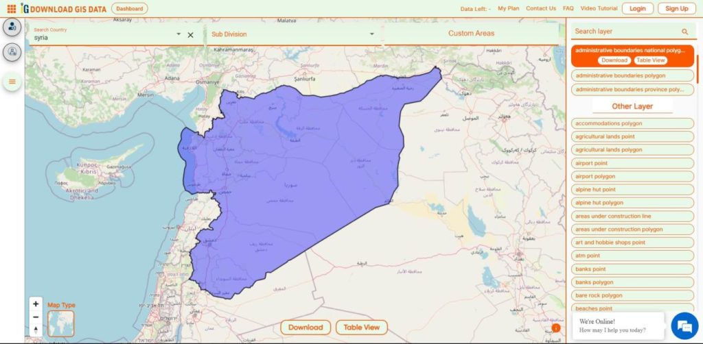
Syria National Boundary

Download Syria National Boundary Shapefile

Download Syria Provinces Shapefile Data

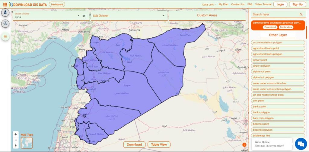
Syria is Divided into 14 Provinces also called as Governorates or Counties.

  • Aleppo 
  • Raqqa 
  • As-Suwayda 
  • Damascus 
  • Daraa 
  • Deir ez-Zor 
  • Hama 
  • Al-Hasakah
  • Homs 
  • Idlib 
  • Latakia 
  • Quneitra 
  • Rif Dimashq 
  • Tartus 
Syria Provinces Boundaries

Download Syria Provinces Boundaries Shapefile

Download Syria District Shapefile Data

Syria is Divided into 65 District.
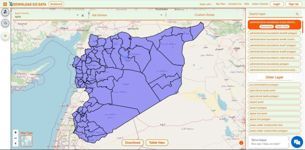
Syria Districts Boundaries

Download Syria Districts Boundaries Shapefile

Download Syria Sub-District Shapefile Data

Districts are divided into 281 Sub-Districts.
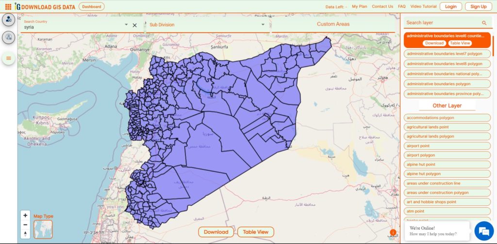
Syria Sub-Districts Boundaries

Download Syria Sub-Districts Boundaries Shapefile

Other GIS Data:

Download Free Shapefile for the following:

  1. World Countries Shapefile
  2. Australia
  3. Argentina
  4. Austria
  5. Belgium
  6. Brazil
  7. Canada
  8. Denmark
  9. Fiji
  10. Finland
  11. Germany
  12. Greece
  13. India
  14. Indonesia
  15. Ireland
  16. Italy
  17. Japan
  18. Kenya
  19. Lebanon
  20. Madagascar
  21. Malaysia
  22. Mexico
  23. Mongolia
  24. Netherlands
  25. New Zealand
  26. Nigeria
  27. Papua New Guinea
  28. Philippines
  29. Poland
  30. Russia
  31. Singapore
  32. South Africa
  33. South Korea
  34. Spain
  35. Switzerland
  36. Tunisia
  37. United Kingdom Shapefile
  38. United States of America
  39. Vietnam
  40. Norway
  41. Chile
  42. Croatia
  43. Estonia
  44. Laos
  45. Hungary
  46. Libya
  47. Comoros
  48. Colombia
  49. Bhutan
  50. Maldives
  51. Iraq
  52. Azerbaijan
  53. Portugal
  54. Macedonia
  55. Armenia
  56. Jordan
  57. Luxembourg
  58. Slovakia
  59. Mauritania
  60. Cyprus
  61. Afghanistan
  62. El Salvador
  63. Guatemala
  64. Nauru
  65. Slovenia
  66. Marshall Islands
  67. Romania
  68. Peru

Disclaimer : If you find any shapefile data of country provided is incorrect do contact us or comment below, so that we will correct the same in our system as well we will try to correct the same in OpenStreetMap.
Download Peru Administrative Boundary Shapefiles – National, Regions, Province, Districts and More

Download Peru administrative boundaries shapefiles Peru National , regions , provinces , districts and more.

It’s fantastic to hear that IGISMAP has expanded its GIS data collection to include data for more than 100 new countries, bringing the total coverage to over 150 countries. This is undoubtedly a valuable resource for GIS enthusiasts and professionals around the world. The availability of detailed information on administrative divisions, rivers, roads, and airports can greatly enhance various geospatial projects and analyses.

The option to access the data through tools like “Download GIS Data” and “Add GIS Data” seems convenient and user-friendly. Providing data in different formats such as Shapefile, KML, GeoJSON, and CSV ensures compatibility with a wide range of GIS software and applications, making it easier for users to integrate the data into their workflows.

This article will walk you through downloading administrative-level GIS data for Peru using the Download GIS Data tool. Experience a seamless geospatial journey with IGISMAP as your trusted partner!

Note:

  • All data available are in GCS datum EPSG:4326 WGS84 CRS (Coordinate Reference System).
  • You need to login for downloading the shapefile.

Download Shapefile Data of Peru

A virtual guide to Peru, the third largest country in South America, with a 2,400 km long coastline at the South Pacific Ocean (what a beach). Countries with international borders to Peru are Bolivia, Brazil, Chile, Colombia, and Ecuador.

The country extends along the Andes, the world’s longest exposed mountain range, it covers an area of 1,285,216 km², making it 2.5 times the size of Spain, or slightly smaller than Alaska.

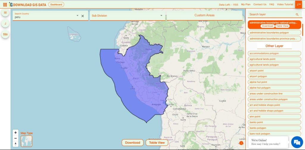
Peru National Boundary

Download Peru National Boundary Shapefile

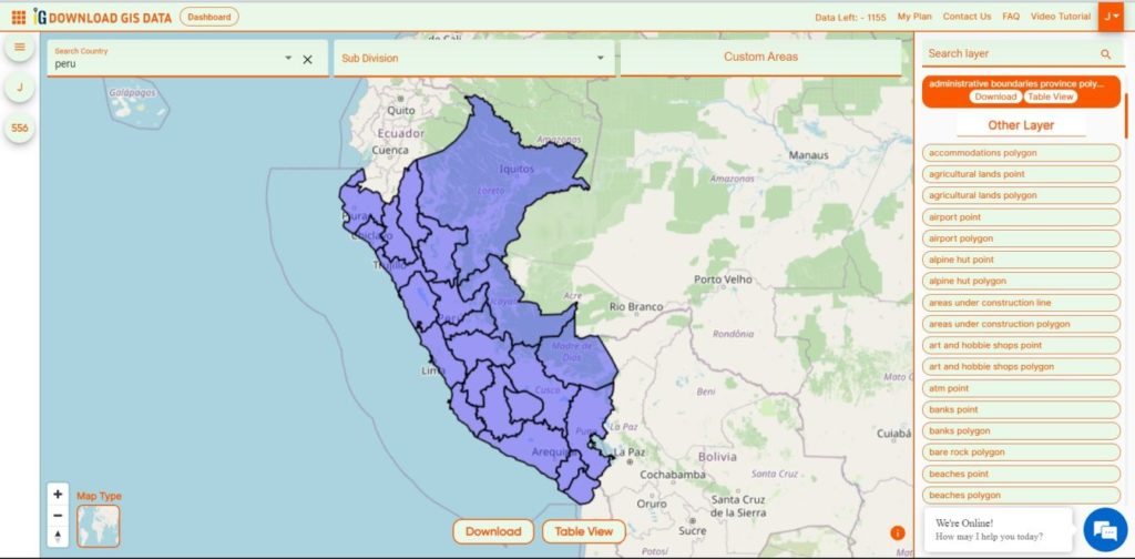
Download Peru Provinces Shapefile Data

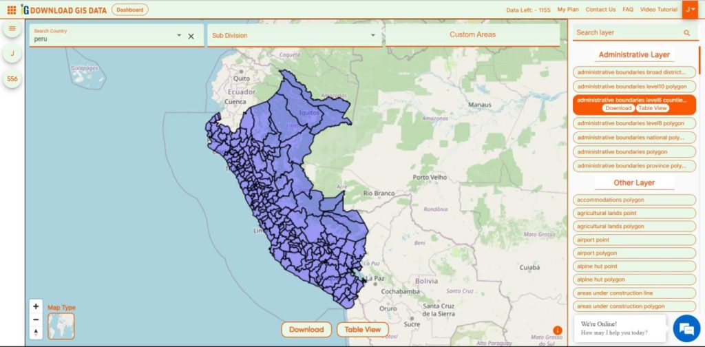
The provinces of Peru (Spanish: provincias) are the second-level administrative subdivisions of the country.

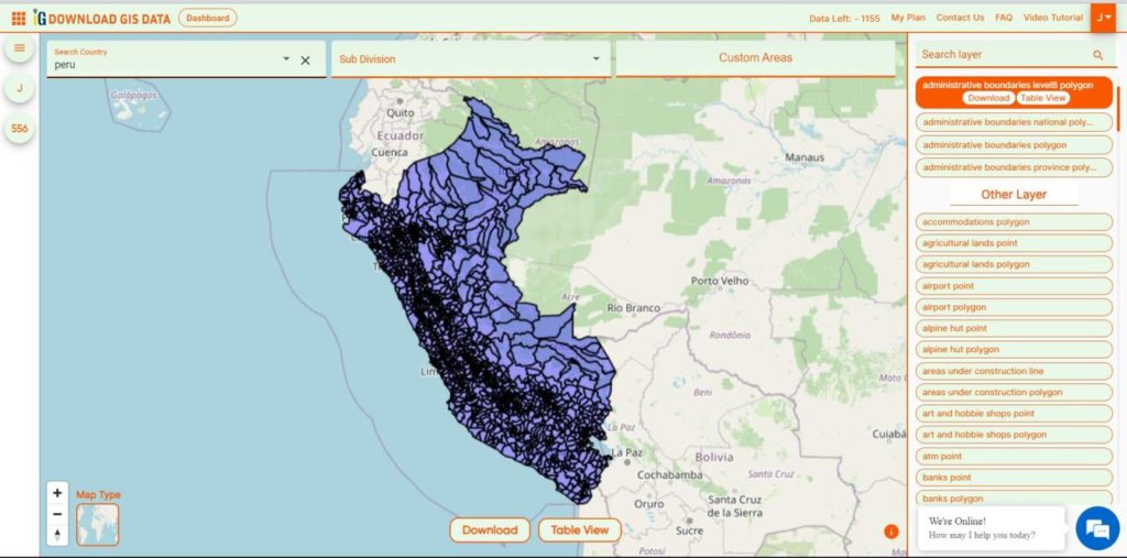
Peru Provinces Boundaries

Download Peru Provinces Boundaries Shapefile

Download Peru Regions Shapefile Data

 There are 196 provinces in Peru, grouped into 25 regions, except for Lima Province which does not belong to any region. This makes an average of seven provinces per region.

Peru Regions Boundaries

Download Peru Regions Boundaries Shapefile

Download Peru Districts Shapefile Data

The districts of Peru (Spanish: distritos) are the third-level country subdivisions of Peru.

Peru Districts Boundaries

Download Peru Districts Boundaries Shapefile

Other GIS Data:

Download Free Shapefile for the following:

  1. World Countries Shapefile
  2. Australia
  3. Argentina
  4. Austria
  5. Belgium
  6. Brazil
  7. Canada
  8. Denmark
  9. Fiji
  10. Finland
  11. Germany
  12. Greece
  13. India
  14. Indonesia
  15. Ireland
  16. Italy
  17. Japan
  18. Kenya
  19. Lebanon
  20. Madagascar
  21. Malaysia
  22. Mexico
  23. Mongolia
  24. Netherlands
  25. New Zealand
  26. Nigeria
  27. Papua New Guinea
  28. Philippines
  29. Poland
  30. Russia
  31. Singapore
  32. South Africa
  33. South Korea
  34. Spain
  35. Switzerland
  36. Tunisia
  37. United Kingdom Shapefile
  38. United States of America
  39. Vietnam
  40. Norway
  41. Chile
  42. Croatia
  43. Estonia
  44. Laos
  45. Hungary
  46. Libya
  47. Comoros
  48. Colombia
  49. Bhutan
  50. Maldives
  51. Iraq
  52. Azerbaijan
  53. Portugal
  54. Macedonia

Disclaimer : If you find any shapefile data of country provided is incorrect do contact us or comment below, so that we will correct the same in our system as well we will try to correct the same in OpenStreetMap.
Download Macedonia Administrative Boundary Shapefiles – National , Regions , Villages and More

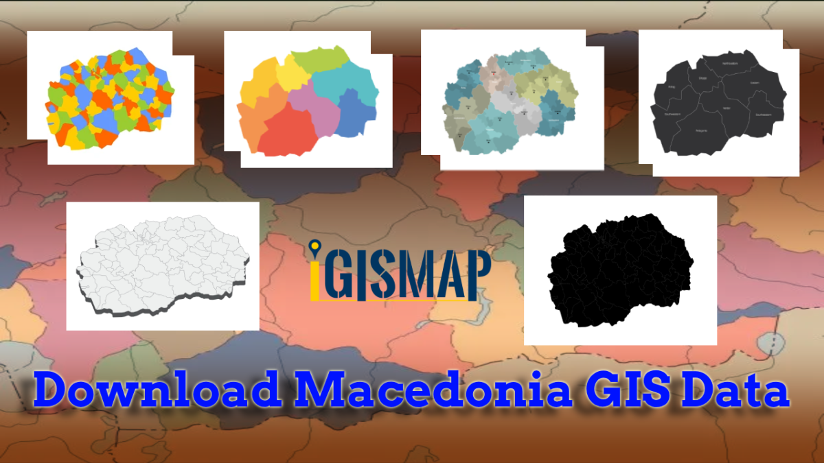
Download Macedonia administrative boundary shapefiles- Macedonia National , Regions , Villages Shapefile and more.

It’s fantastic to hear that IGISMAP has expanded its GIS data collection to include data for more than 100 new countries, bringing the total coverage to over 150 countries. This is undoubtedly a valuable resource for GIS enthusiasts and professionals around the world. The availability of detailed information on administrative divisions, rivers, roads, and airports can greatly enhance various geospatial projects and analyses.

The option to access the data through tools like “Download GIS Data” and “Add GIS Data” seems convenient and user-friendly. Providing data in different formats such as Shapefile, KML, GeoJSON, and CSV ensures compatibility with a wide range of GIS software and applications, making it easier for users to integrate the data into their workflows.

This article will walk you through downloading administrative-level GIS data for Macedonia using the Download GIS Data tool. Experience a seamless geospatial journey with IGISMAP as your trusted partner!

Note:

  • All data available are in GCS datum EPSG:4326 WGS84 CRS (Coordinate Reference System).
  • You need to login for downloading the shapefile.

Download Shapefile Data of Macedonia

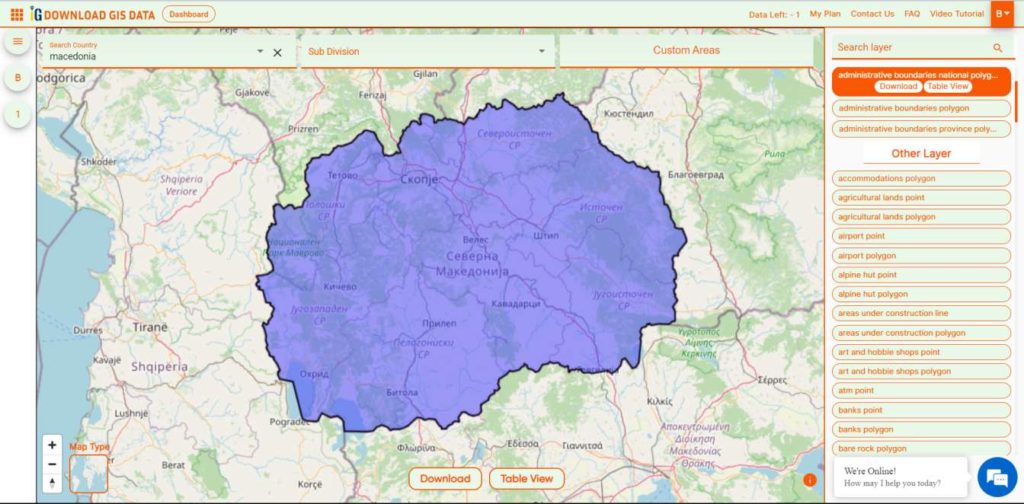
North Macedonia is a country situated in southeastern Europe with geographic coordinates 41°50′N 22°00′E, bordering Kosovo and Serbia to the north, Bulgaria to the east, Greece to the south and Albania to the west. The country is part of the wider region of Macedonia and makes up most of Vardar Macedonia. The country is a major transportation corridor from Western and Central Europe to Southern Europe and the Aegean Sea. North Macedonia is a landlocked country but has three major natural lakes: Lake Ohrid, Lake Prespa and Lake Dojran. It has a water area of 857 km2, while its land area is 24,856 km2.

Macedonia National Boundary

Download Macedonia National Boundary Shapefile

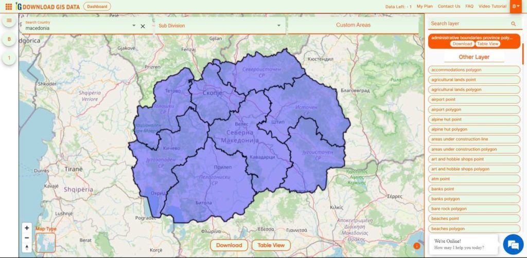
Download Macedonia Regions Shapefile Data

 Macedonia is divided into 8 regions.

  • Eastern
  • Northeastern
  • Pelagonia
  • Polog
  • Skopje
  • Southeastern
  • Southwestern
  • Vardar
Macedonia Regions Boundaries

Download Macedonia Regions Boundaries Shapefile

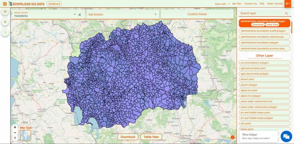
Download Macedonia Villages Shapefile Data

There are Total 1725 Villages in Macedonia.

Macedonia Villages Boundaries

Download Macedonia Villages Boundaries Shapefile

Other GIS Data:

Download Free Shapefile for the following:

  1. World Countries Shapefile
  2. Australia
  3. Argentina
  4. Austria
  5. Belgium
  6. Brazil
  7. Canada
  8. Denmark
  9. Fiji
  10. Finland
  11. Germany
  12. Greece
  13. India
  14. Indonesia
  15. Ireland
  16. Italy
  17. Japan
  18. Kenya
  19. Lebanon
  20. Madagascar
  21. Malaysia
  22. Mexico
  23. Mongolia
  24. Netherlands
  25. New Zealand
  26. Nigeria
  27. Papua New Guinea
  28. Philippines
  29. Poland
  30. Russia
  31. Singapore
  32. South Africa
  33. South Korea
  34. Spain
  35. Switzerland
  36. Tunisia
  37. United Kingdom Shapefile
  38. United States of America
  39. Vietnam
  40. Norway
  41. Chile
  42. Croatia
  43. Estonia
  44. Laos
  45. Hungary
  46. Libya
  47. Comoros
  48. Colombia
  49. Bhutan
  50. Maldives
  51. Iraq
  52. Azerbaijan
  53. Portugal

Disclaimer : If you find any shapefile data of country provided is incorrect do contact us or comment below, so that we will correct the same in our system as well we will try to correct the same in OpenStreetMap.
Download Estonia Administrative Boundary Shapefiles – National , Counties, Villages and More

Download Shapefile Maps –Estonia National Boundary, Estonia Counties, Municipalities, Estonia Villages and Districts Shapefile.

Great news for all GIS admirers. IGISMAP have recently published the GIS data collection for more than 100 new countries. Currently we hold GIS data, covering 150+ countries with 150+ datasets available for each nation. Our data provides precise information on administrative divisions and various geographic features like rivers, roads, and airports. Accessing this valuable resource is easy through two tools: Download GIS Data and Add GIS Data. You can download data in different formats such as Shapefile, KML, GeoJSON, or CSV. To learn more about the Add GIS Data tool, check out our article “Add GIS data from IGISMap GIS data collection.” This article will walk you through downloading administrative-level GIS data for Estonia using the Download GIS Data tool. Experience a seamless geospatial journey with IGISMAP as your trusted partner!

Note:

  • All data available are in GCS datum EPSG:4326 WGS84 CRS (Coordinate Reference System).
  • You need to login for downloading the shapefile.

Download Free Shapefile Data of Estonia

Between 57.3 and 59.5 latitude and 21.5 and 28.1 longitude, Estonia lies on the eastern coast of the Baltic Sea on the level northwestern part of the rising East European Platform. Estonia’s continental mainland is bordered to the north by the Gulf of Finland (part of the Baltic Sea) across from Finland, to the east by Lake Peipus and Russia, and to the south by Latvia. Besides the part of the European continent, Estonian territory also includes the larger islands of Saaremaa and Hiiumaa, and over 2,200 other islands and islets in the Baltic Sea, off the western and northern shores of the country’s mainland. Average elevation in Estonia reaches 50 m (164 ft).

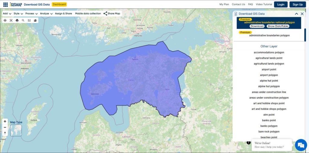
Estonia National Boundary

Download Estonia National Boundary Shapefile

Download Estonia Counties Shapefile Data

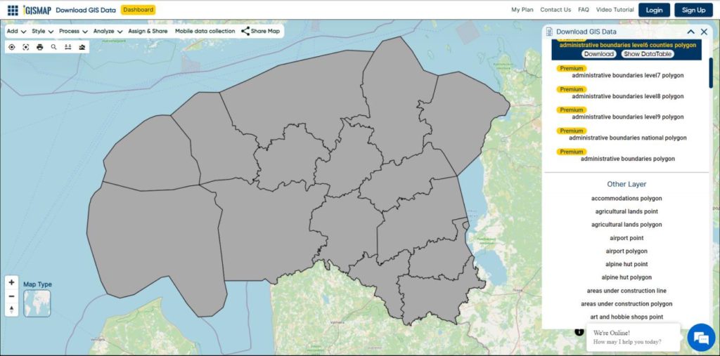
Counties (Estonian: maakond, plural maakonnad) are the state administrative subdivisions of Estonia. Estonian territory is composed of 15 counties, including 13 on the mainland and 2 on islands.

Estonia Counties Boundaries

Download Estonia Counties Boundaries Shapefile

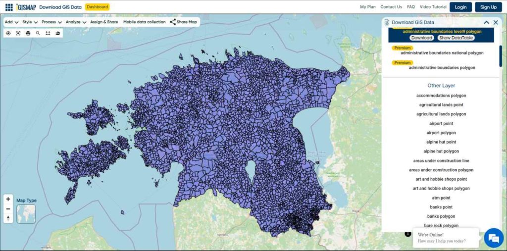
Download Estonia Villages Shapefile Data

Free Shapefile of Villages in Estonia.

Estonia Villages Boundaries

Download Estonia Villages Boundaries Shapefile

Other Administrative Boundary Data:

Other GIS Data:

Download Free Shapefile for the following:

  1. World Countries Shapefile
  2. Australia
  3. Argentina
  4. Austria
  5. Belgium
  6. Brazil
  7. Canada
  8. Denmark
  9. Fiji
  10. Finland
  11. Germany
  12. Greece
  13. India
  14. Indonesia
  15. Ireland
  16. Italy
  17. Japan
  18. Kenya
  19. Lebanon
  20. Madagascar
  21. Malaysia
  22. Mexico
  23. Mongolia
  24. Netherlands
  25. New Zealand
  26. Nigeria
  27. Papua New Guinea
  28. Philippines
  29. Poland
  30. Russia
  31. Singapore
  32. South Africa
  33. South Korea
  34. Spain
  35. Switzerland
  36. Tunisia
  37. United Kingdom Shapefile
  38. United States of America
  39. Vietnam
  40. Norway
  41. Chile
  42. Croatia

Disclaimer : If you find any shapefile data of country provided is incorrect do contact us or comment below, so that we will correct the same in our system as well we will try to correct the same in OpenStreetMap.