Unlock a wealth of geospatial insights with MAPOG, your gateway to Download North Korea Administrative Boundary GIS Data. Embark on a journey through the secretive landscapes of North Korea with access to a diverse range of datasets covering national, provincial, district boundaries, and more.
Navigating North Korea’s GIS data is effortless with MAPOG. Explore over 200 meticulously curated datasets detailing administrative boundaries and geographic features such as rivers, roads, and national landmarks. Our platform offers intuitive tools for seamless exploration: Download North Korea Administrative Boundary GIS Data and Add GIS Data. With the Download GIS Data tool, choose from a variety of formats like Shapefile, KML, GeoJSON, or CSV to obtain the precise data you need. Need guidance on using the Add GIS Data tool? Consult our comprehensive guide for step-by-step instructions. Let MAPOG be your trusted companion on an enriching geospatial journey through North Korea’s enigmatic terrain.
With MAPOG’s versatile toolkit, you can effortlessly upload vector, add WMS (Web Map Service) layers, upload Excel or CSV data, incorporate existing files, perform polygon splitting and merging, generate new polygon and polyline data, use the converter for various formats, conduct buffer analysis, create grids, transform points into polygons, calculate isochrones, and utilize the geocoder for precise location information.
Our platform supports an extensive range of data formats, including KML, SHP, CSV, GeoJSON, Tab, SQL, Tiff, GML, KMZ, GPKZ, SQLITE, Dxf, MIF, TOPOJSON, XLSX, GPX, ODS, MID, and GPS, ensuring seamless compatibility and accessibility across different analyses.
Note:
- all data provided by MAPOG are in GCS datum EPSG:4326 WGS84 CRS (Coordinate Reference System).
- Additionally, access to shapefile downloads requires logging in to the platform.
Download Data of North Korea
North Korea, shrouded in mystery, offers a fascinating blend of rugged landscapes and unique cultural heritage. Bordered by China, Russia, and South Korea, it boasts diverse terrain, from mountainous regions to coastal plains. Explore North Korea’s rich geography, including iconic landmarks such as Mount Paektu, the birthplace of Kim Il-sung in Mangyongdae, and the capital city of Pyongyang.
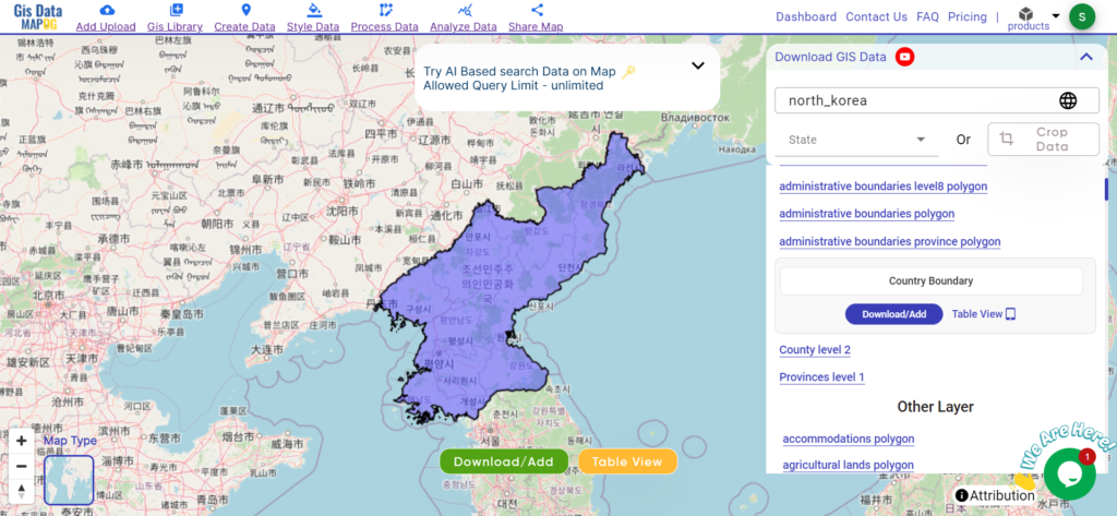
Download North Korea National Boundary
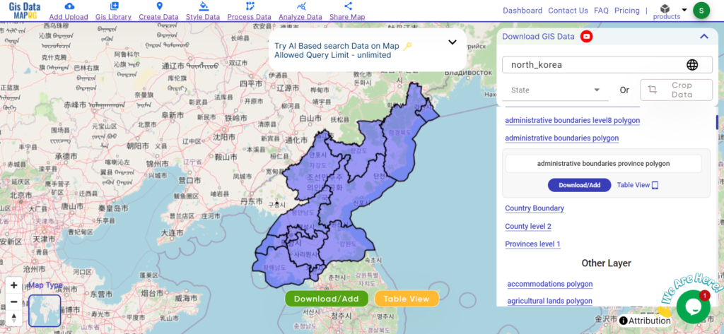
Download North Korea Provinces Data
North Korea is divided into nine provinces, each with its distinct cultural, geographical, and historical significance. These provinces play a crucial role in the country’s governance and regional development efforts. Delve into the administrative boundaries and geographic features of North Korea’s provinces to gain a deeper understanding of their diversity and importance. Here are North Korea’s nine provinces:
- Pyongyang
- South Pyongan
- North Pyongan
- Chagang
- South Hamgyong
- North Hamgyong
- Ryanggang
- Kangwon
- Jagang
Download North Korea Provinces Shapefile
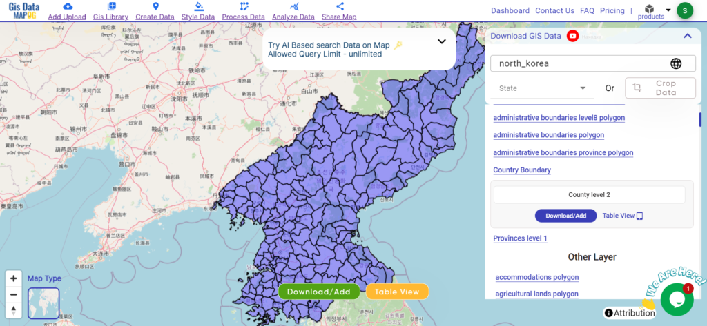
Download North Korea District Data
North Korea comprises multiple districts, each encapsulating a unique blend of cultural heritage, geographical features, and administrative significance. These districts serve as fundamental units of governance and are essential for regional development efforts. Delve into the administrative boundaries and geographic features of North Korea’s districts to gain a deeper understanding of their diversity and importance.
Download North Korea District Shapefile
Other GIS Data:
- Download North Korea Airport Point Data
- Download North Korea Tourism Data
- Download North Korea Forest Data
- Download North Korea Settlement Data
Above all links are provided for GIS data of North Korea if you are looking for any specific data please write us on support@mapog.com
Download Data for the following:
- World Countries Shapefile
- Australia
- Argentina
- Austria
- Belgium
- Brazil
- Canada
- Denmark
- Fiji
- Finland
- Germany
- Greece
- India
- Indonesia
- Ireland
- Italy
- Japan
- Kenya
- Lebanon
- Madagascar
- Malaysia
- Mexico
- Mongolia
- Netherlands
- New Zealand
- Nigeria
- Papua New Guinea
- Philippines
- Poland
- Russia
- Singapore
- South Africa
- South Korea
- Spain
- Switzerland
- Tunisia
- United Kingdom Shapefile
- United States of America
- Vietnam
- Croatia
- Chile
- Norway
- Maldives
- Bhutan
- Colombia
- Libya
- Comoros
- Hungary
- Laos
- Estonia
- Iraq
- Portugal
- Azerbaijan
- Macedonia
- Romania
- Peru
- Marshall Islands
- Slovenia
- Nauru
- Guatemala
- El Salvador
- Afghanistan
- Cyprus
- Syria
- Slovakia
- Luxembourg
- Jordan
- Armenia
- Haiti And Dominican Republic
- Malta
- Djibouti
- East Timor
- Micronesia
- Morocco
- Liberia
- Kosovo
- Isle Of Man
- Paraguay
- Tokelau
- Palau
- Ile De Clipperton
- Mauritius
- Equatorial Guinea
- Tonga
- Myanmar
- Thailand
- New Caledonia
- Seychelles
- Democratic Republic of the Congo
Disclaimer : If you find any shapefile data of country provided is incorrect do contact us or comment below, so that we will correct the same in our system as well we will try to correct the same in openstreetmap.