Hello GIS enthusiasts, IGISMAP has now published the latest GIS vector data of Austria administrative levels. Links for downloading the shapefiles of the important administrative divisions of Austria are provided in the following. You can also download these data in KML, GeoJSON or CSV formats.
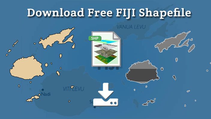
Download Fiji Shapefile
Download link for both shapefile is provided. Before download fill your email id if you are not registered users. For registered user you can export Fiji datasets directly.
Boundary Shapefile of Fiji
All data available are in EPSG:4326 WGS84 CRS (Coordinate Reference System). Using following link you will be redirected to the boundary map of Fiji.
Download Boundary Fiji Map Shapefile
Polygon Shapefile of Fiji
Download Province State Polygon Shapefile of Fiji
Fiji polygon shapefile covers Central, Eastern, Northern, Rotuma and western.
Clarification – GIS datasets of Fiji provided here is license under Open Data Commons Open Database License (ODbL) .
Download shapefile of other countries –
In the following list if your requirement is not fulfilled then please comment below so that we can add it.
- World Countries Shapefile
- Australia
- Argentina
- Austria
- Belgium
- Brazil
- Canada
- Denmark
- Fiji
- Finland
- Germany
- Greece
- India
- Indonesia
- Ireland
- Italy
- Japan
- Kenya
- Lebanon
- Madagascar
- Malaysia
- Mexico
- Mongolia
- Netherlands
- New Zealand
- Nigeria
- Papua New Guinea
- Philippines
- Poland
- Russia
- Singapore
- South Africa
- South Korea
- Spain
- Switzerland
- Tunisia
- United Kingdom Shapefile
- United States of America
- Vietnam
- Croatia
- Chile
- Norway
Disclaimer : If you find any shapefile data of country provided is in correct do contact us or comment below, so that we will correct the same in our system as well we will try to correct the same in openstreetmap
