MAPOG is an easy-to-use tool that helps you find and download pharmacy data for different projects. Whether you’re planning healthcare services, studying access to medicines, or analyzing pharmacy locations, MAPOG makes it simple. This guide will show you how to download pharmacy data step by step.
Pharmacy GIS Data shows where pharmacies are located on a map. With MAPOG, you can see exact pharmacy locations and download this data in different formats. You can also filter the data by region, which helps you find exactly what you need.
Note:
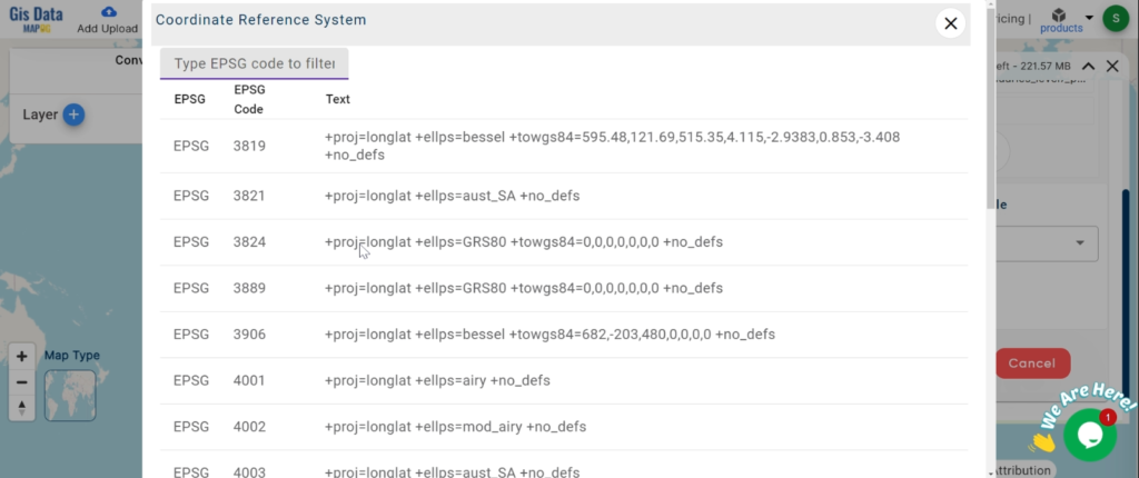
- All data provided by MAPOG is in the GCS datum EPSG:4326 WGS84 CRS (Coordinate Reference System).
- To download data in shapefile format, you will need to log in to the platform.
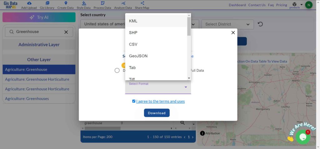
Pharmacy data is helpful for many people, including healthcare planners, researchers, and government agencies. It helps with understanding where pharmacies are, planning services, and making healthcare more accessible. MAPOG allows you to download pharmacy data in several formats like KML, SHP, CSV, and more, so you can use it in different programs.
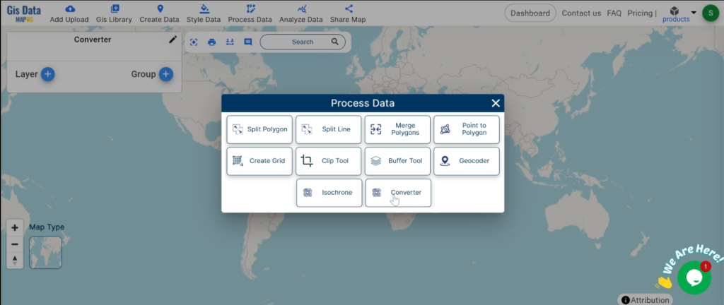
Step-by-Step Guide to Download Pharmacy Data
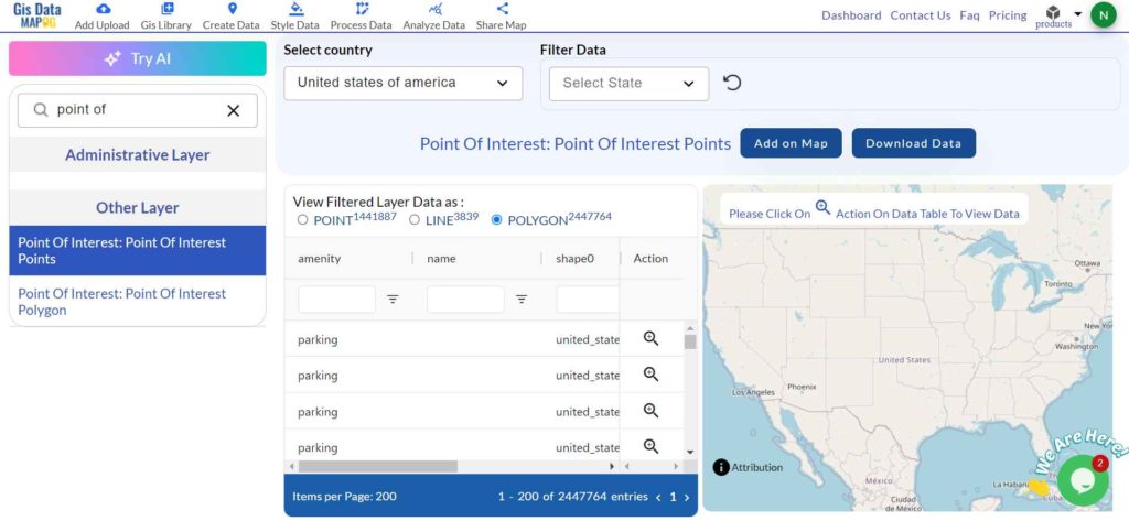
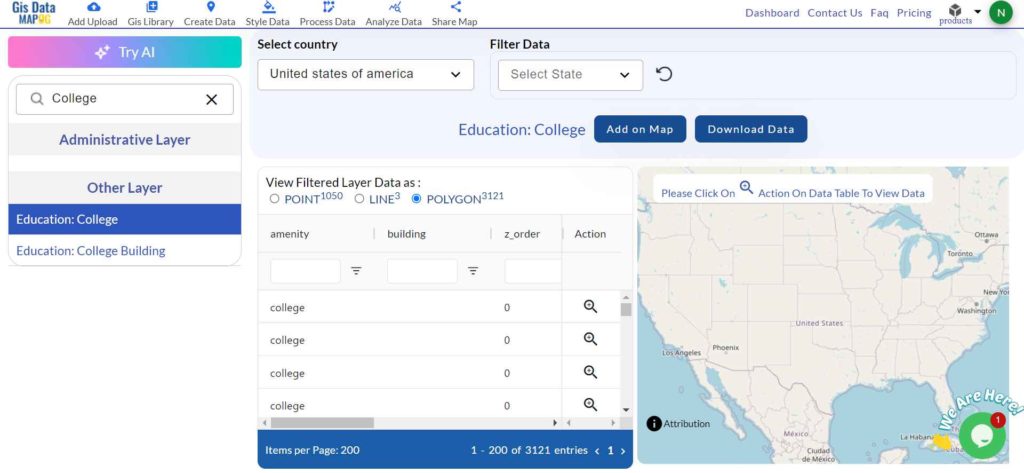
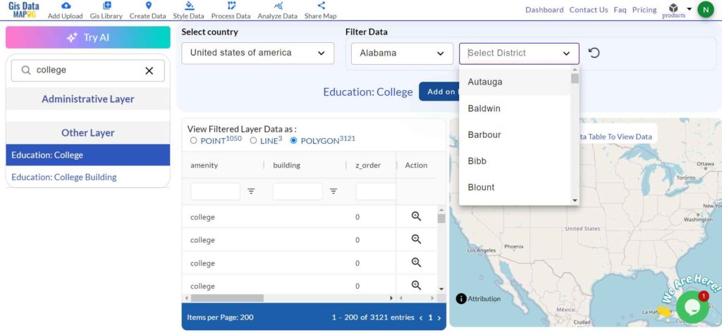
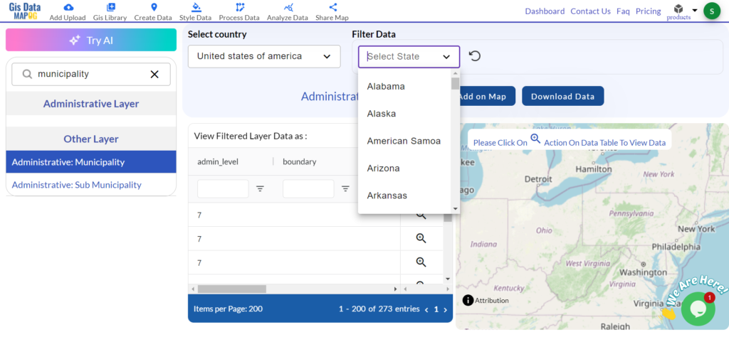
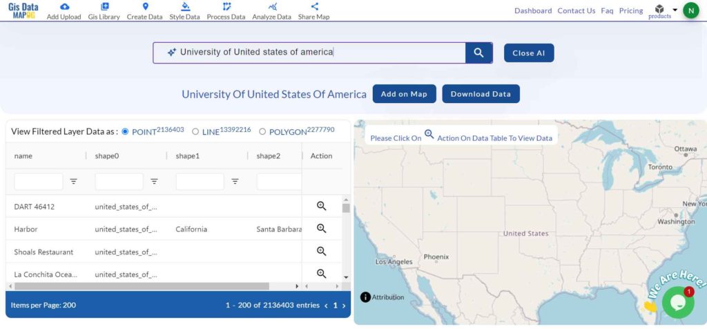
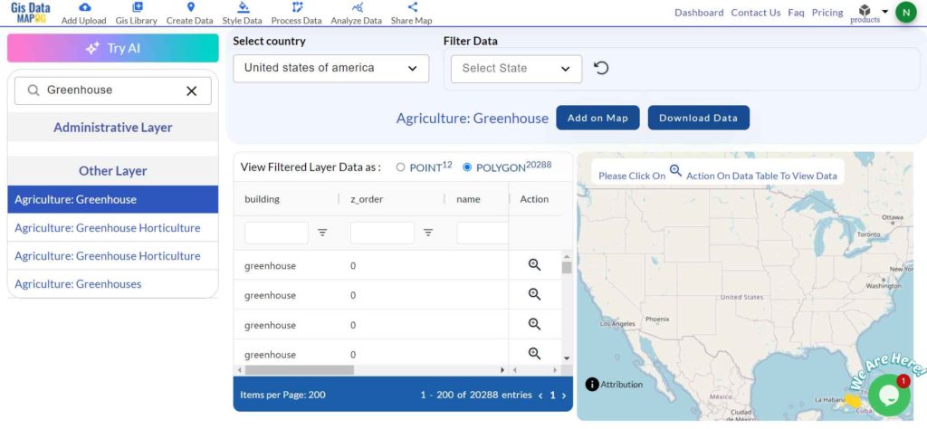
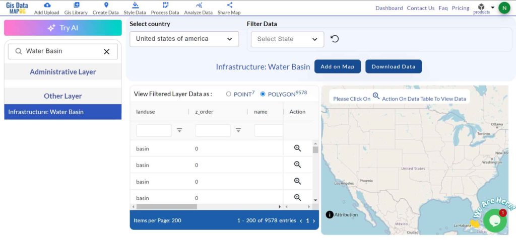
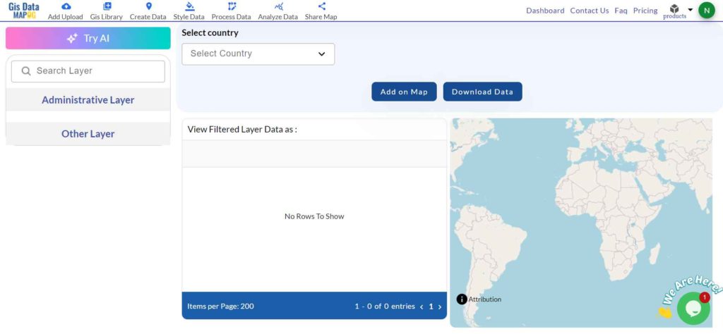
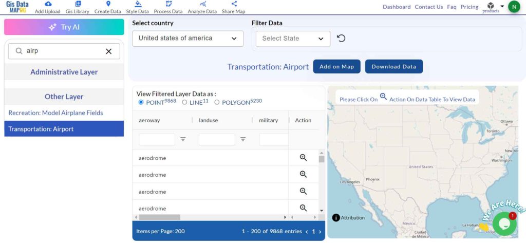
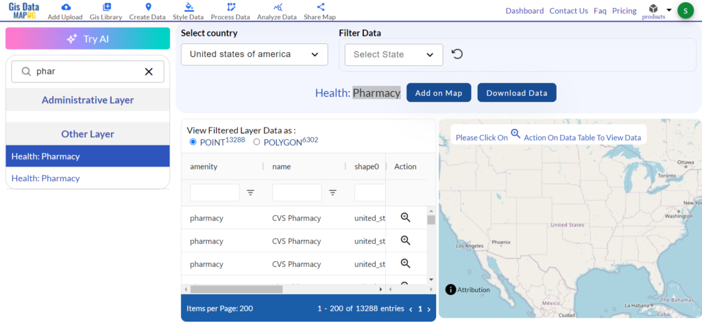
Step 1: Choose the Country
Select the country you’re interested in.
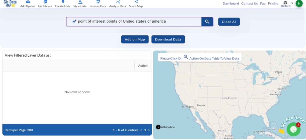
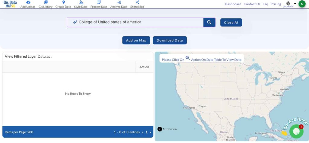
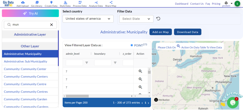
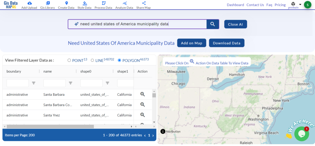
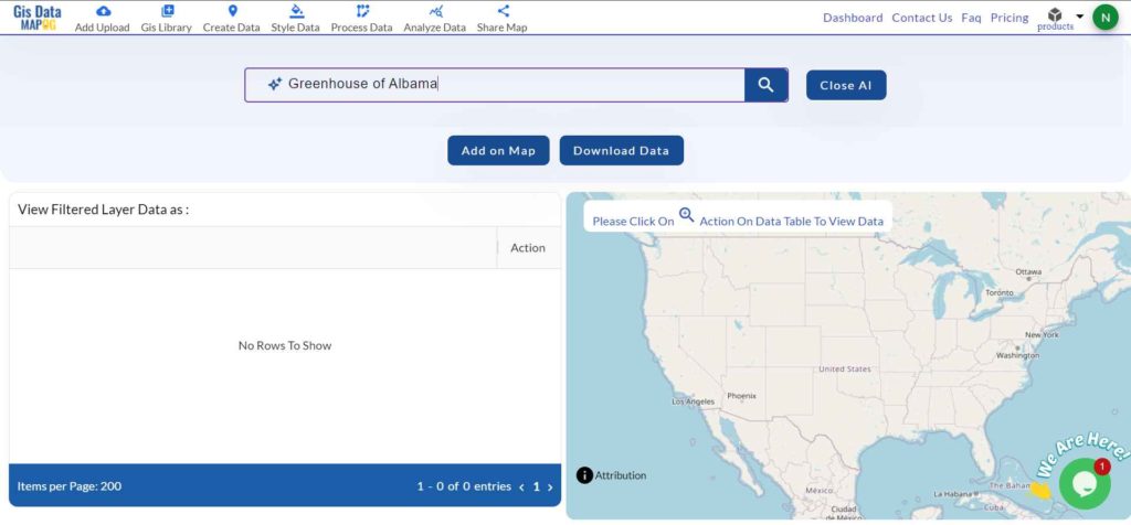
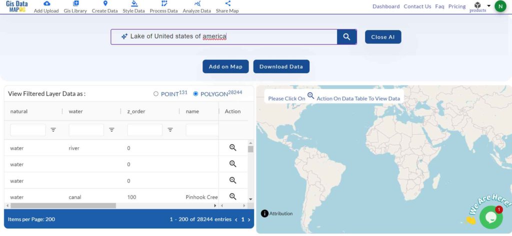
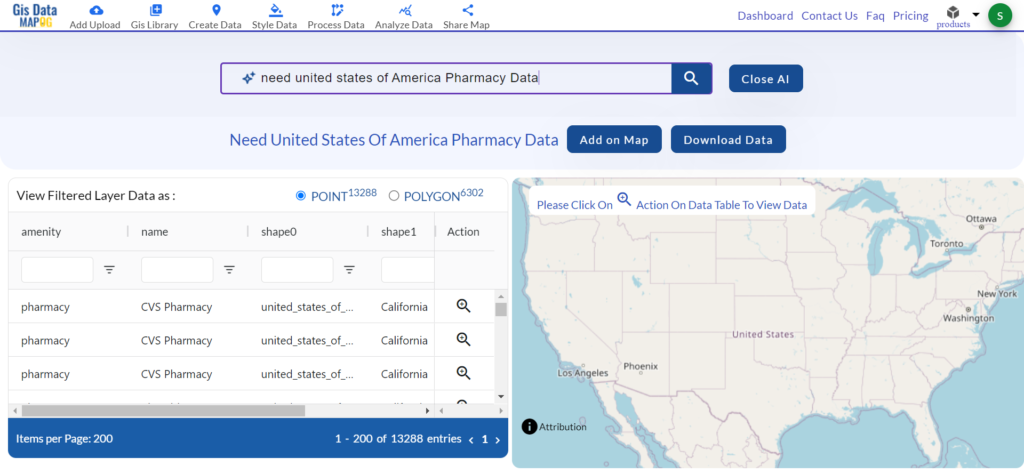
If you can not find the data or country, you can use the ‘Try AI’ feature to quickly find the particular data you need.
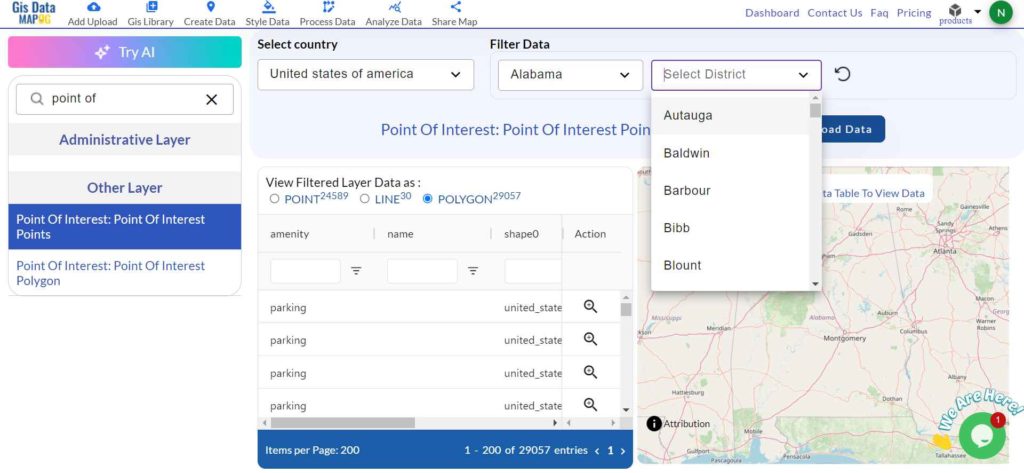
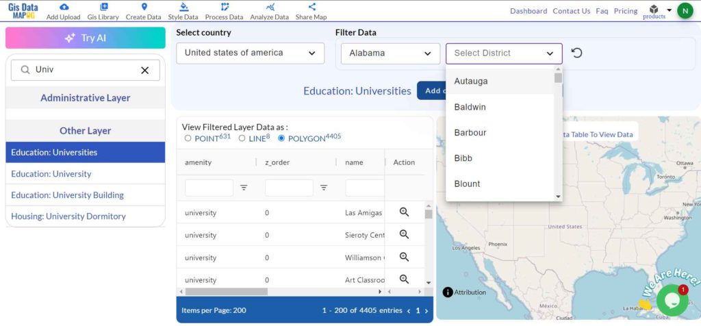
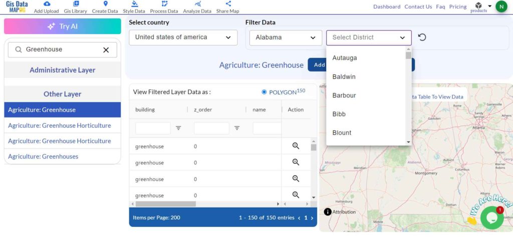
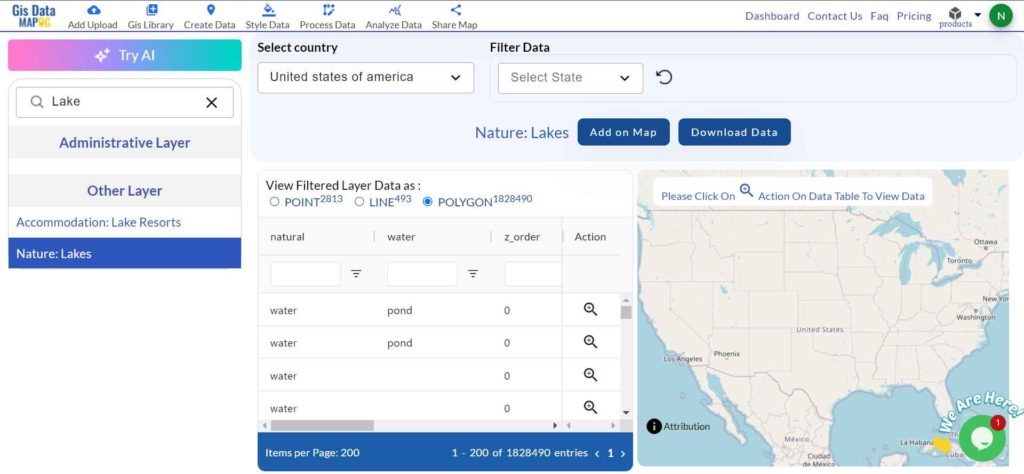
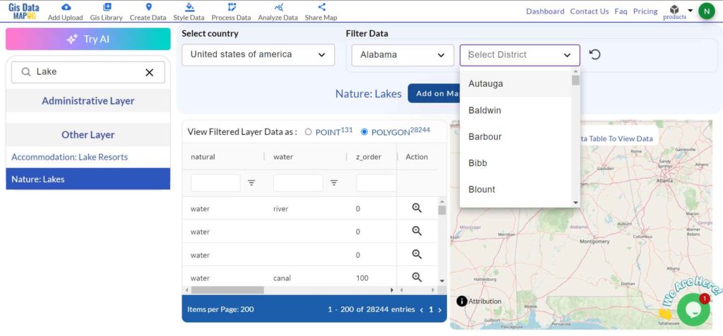
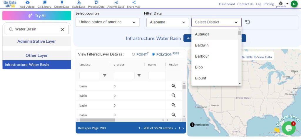
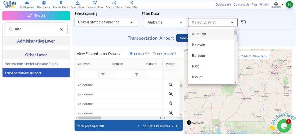
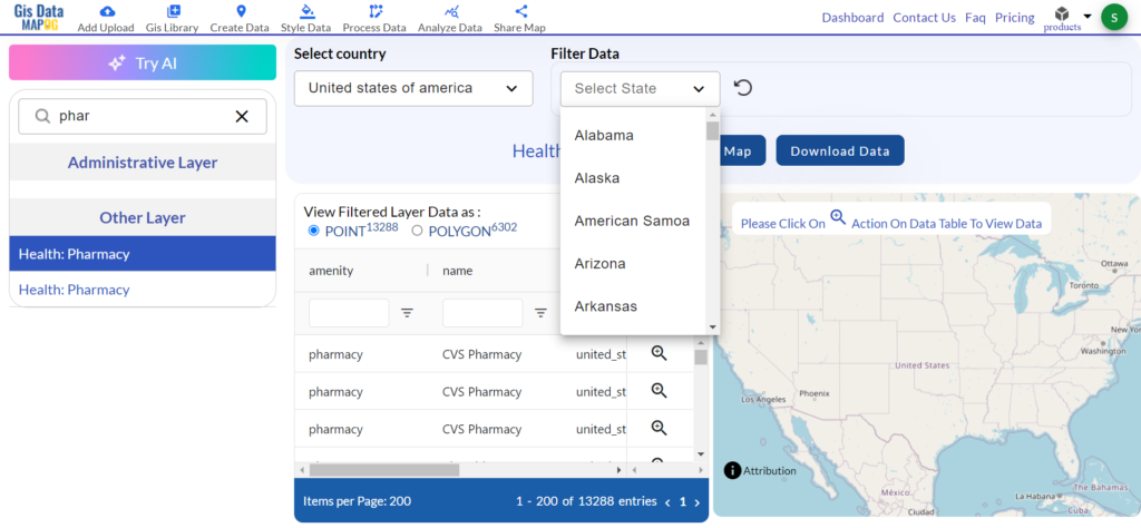
Step 2: Filter the Data
Use filters to narrow down your search. For example, you can choose a specific city or region. This helps you get the exact data you need.
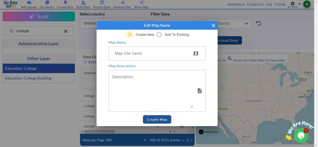
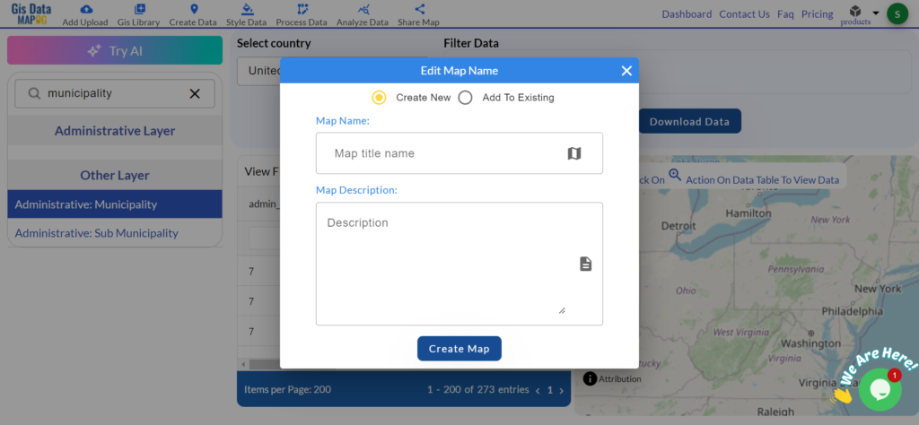
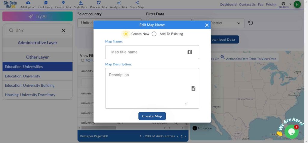
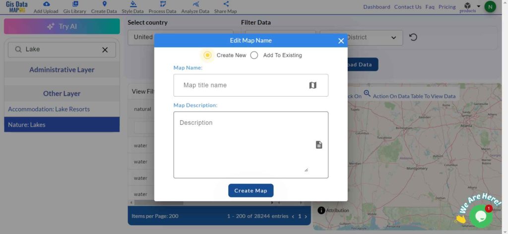
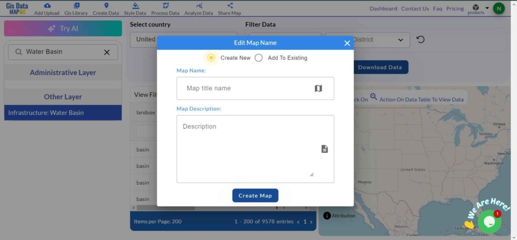
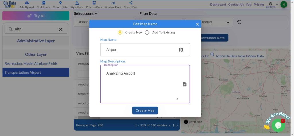
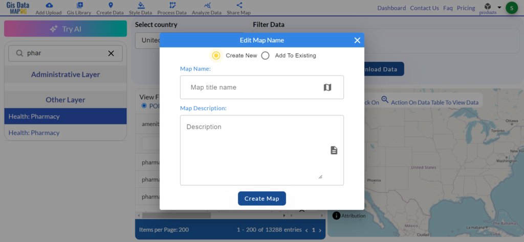
Step 4: Add to Map
After selecting the pharmacy data, add it to your map. This lets you see where the pharmacies are located.
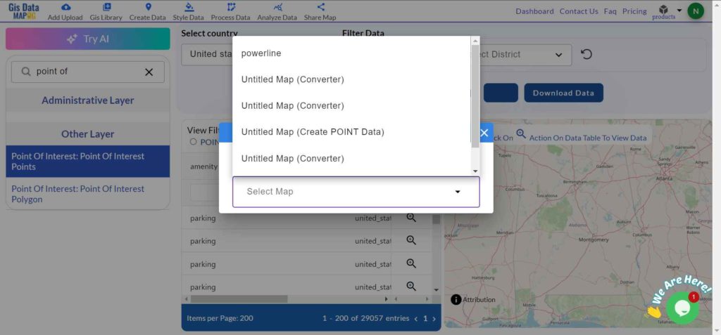
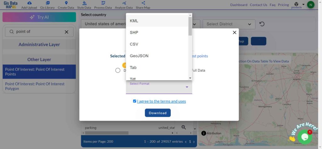
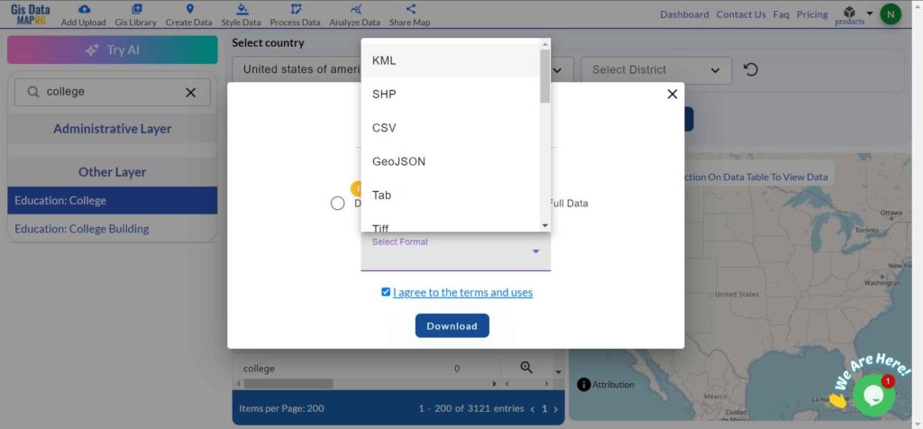
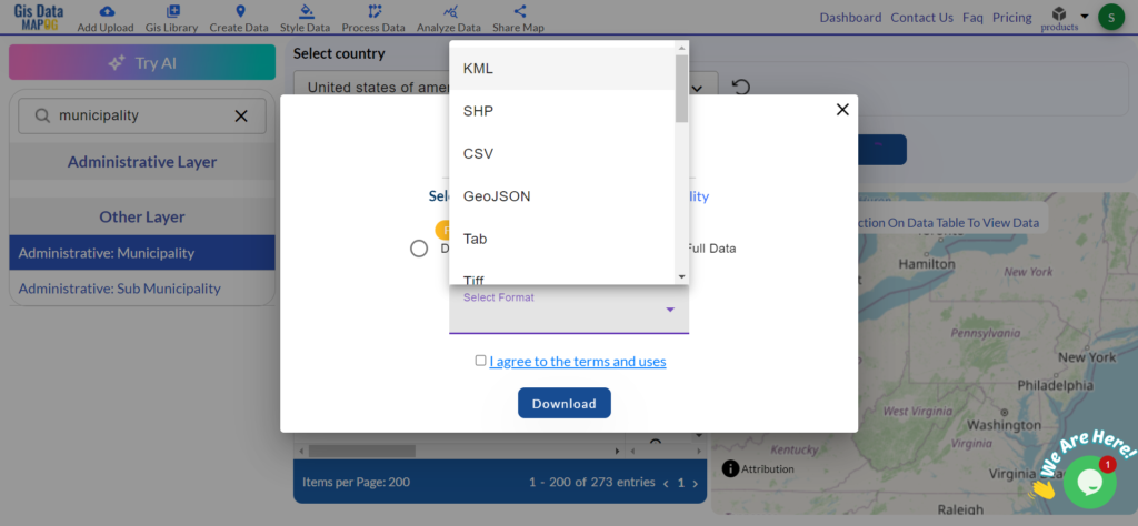
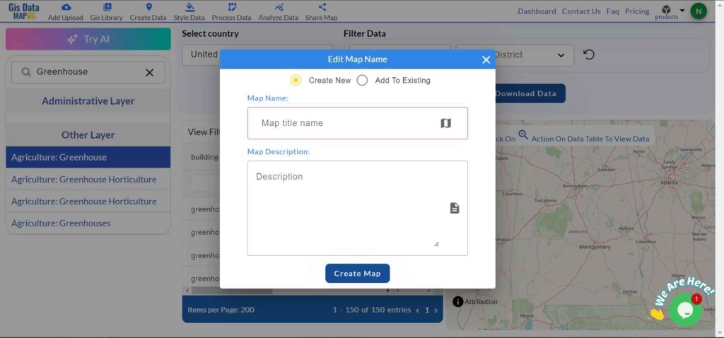
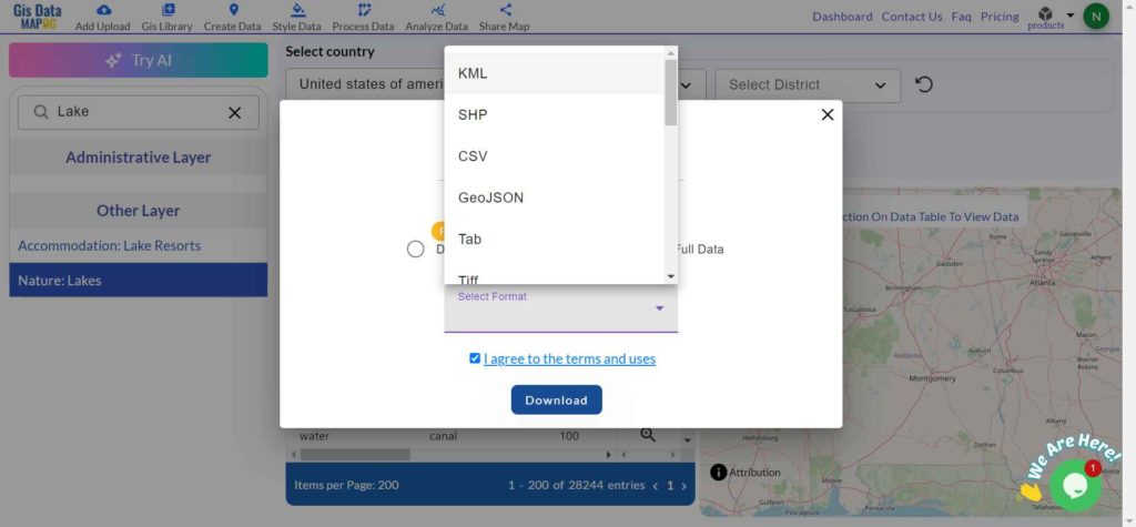
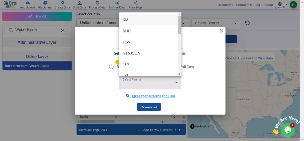
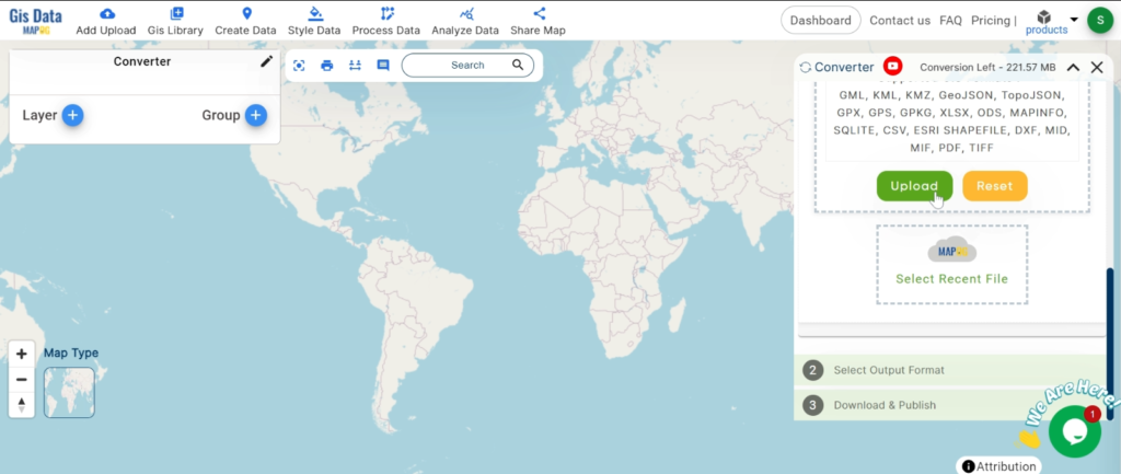
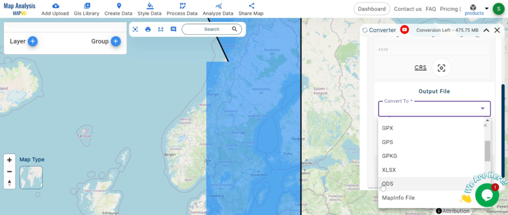
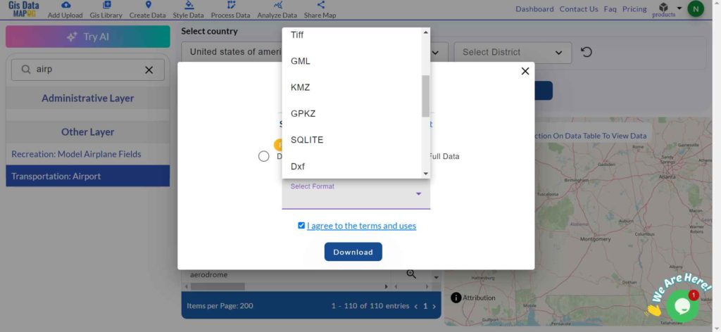
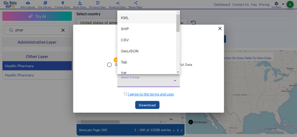
Step 5: Download the Data
Once you’ve checked the map, click the download button. Choose the format you need, such as CSV or SHP, for your project.
More About Pharmacy Data
Pharmacy data includes different types of information:
- Point data: Shows the exact location of each pharmacy.
- Polygon data: Can show the boundaries of pharmacy service areas.
Discover the MAPOG’s Map Analysis tool, allowing you to effortlessly, Upload vector and raster files, Add WMS (Web Map Service) layers, Import Excel or CSV data, Merge and split polygons, Create new polygon and polyline data, Convert between various formats, Perform buffer analysis, Generate grids, Transform points to polygons, Calculate isochrones and support the geocoder for accurate location data.
For more information or assistance with downloading Forest data, please contact us at support@mapog.com.
Disclaimer:
The GIS data provided for download in this article was initially sourced from OpenStreetMap (OSM) and further modified to enhance its usability. Please note that the original data is licensed under the Open Database License (ODbL) by the OpenStreetMap contributors. While modifications have been made to improve the data, any use, redistribution, or modification of this data must comply with the ODbL license terms. For more information on the ODbL, please visit OpenStreetMap’s License Page.