Projection is a method to represent 3D data into 2D. It plays a important role in GIS. A map projection is termed as Coordinate Reference System (CRS) and QGIS allows users to define custom CRS. So in this article QGIS Tutorial – Vector Analysis – Create New Projection we will get familiar with creating your own CRS as per need.
Create 3D map in QGIS
Change projection of a georeference file in other projection – Reprojection in QGIS
QGIS Tutorial – Vector Analysis – Create New Projection
- Start a new map >> upload a vector file using add layer in layer in menu bar.
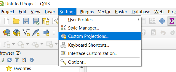
- Go to Setting menu bar >> select Custom Projections
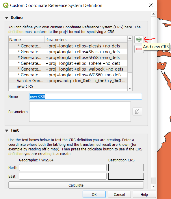
- Tap on Add new CRS button for new projection creation shown in below image.
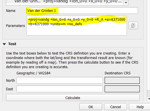
In the Name field fill Van der Grinten I and in the Parameters fill this string
+proj=vandg +lon_0=0 +x_0=0 +y_0=0 +R_A +a=6371000 +b=6371000 +units=m +no_defs
And in the last click on OK
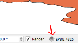
- Now click on CRS button in the status bar at the bottom right of QGIS button.
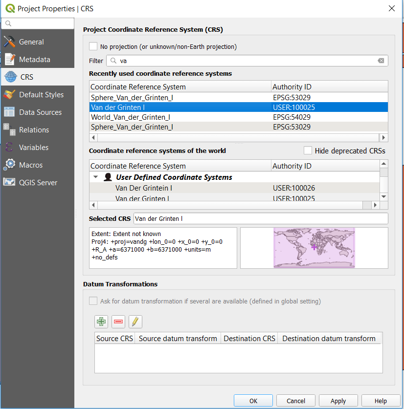
- Filter the user defined projection, Select and click on OK button.
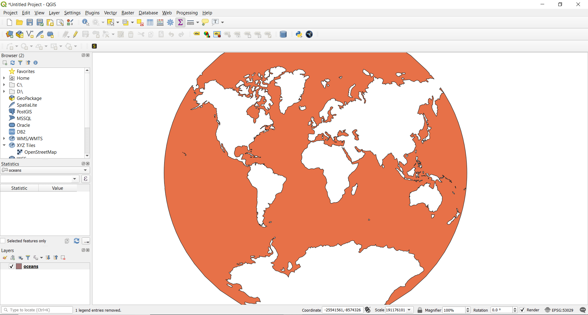
Here is the map with new projection. It looks interesting then earlier one.
This is about creating or changing projection of vector data in QGIS. If you are newbie learn OGIS from Free QGIS Tutorials
Use GIS MapOG Tool for GIS Mapping.
Download Shapefile free and practice in IGIS Map Tool.
