This guide walks you through the steps to quickly and easily convert GPS files into CSV format using the Converter Tool within MAPOG. Whether you’re new to this process or a seasoned user, you’ll find everything explained in clear, simple steps.
Understanding File Conversion
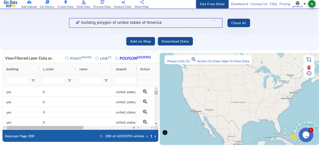
The Converter Tool in MAPOG is designed to transform your data from one format to another seamlessly. Think of it as a magic box: you input your data in one form, and out comes a different format that’s ready for your analysis. With the flexibility to download GIS data in any format, you can shift your information to fit any need.
Converting GPS to CSV: An Online Solution
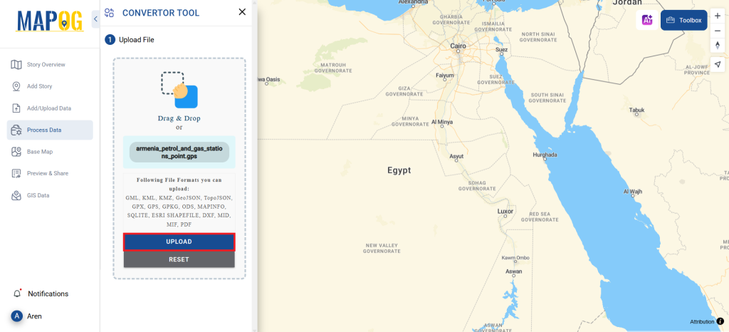
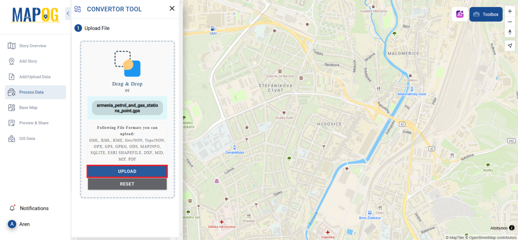
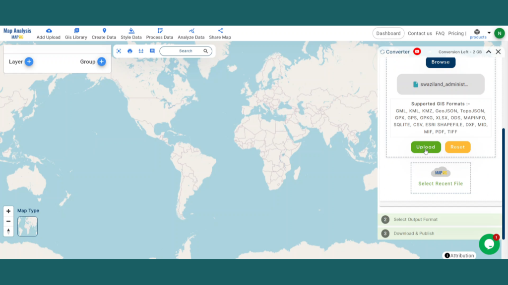
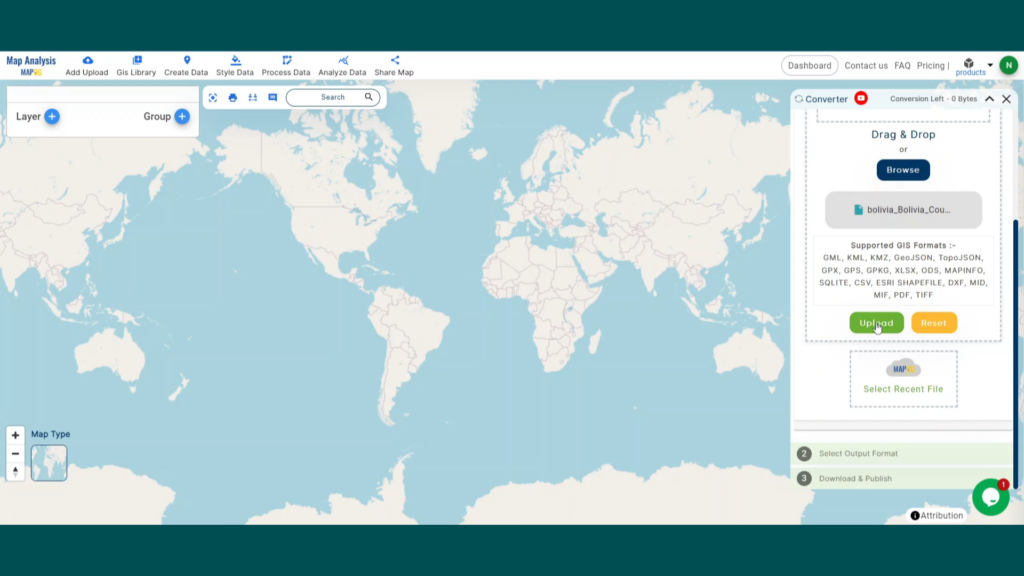
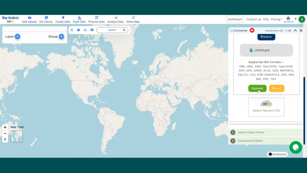
Step 1: Upload Your Data
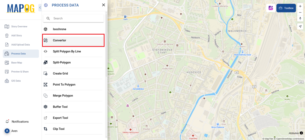
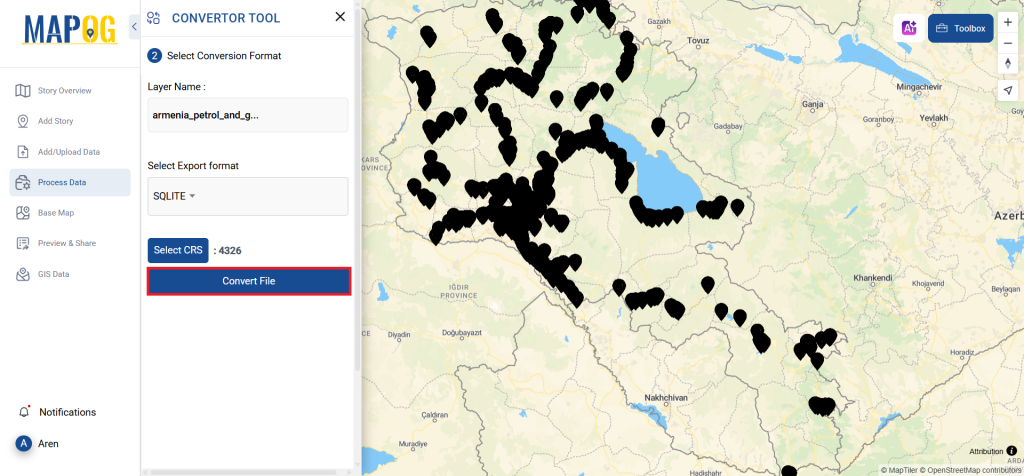
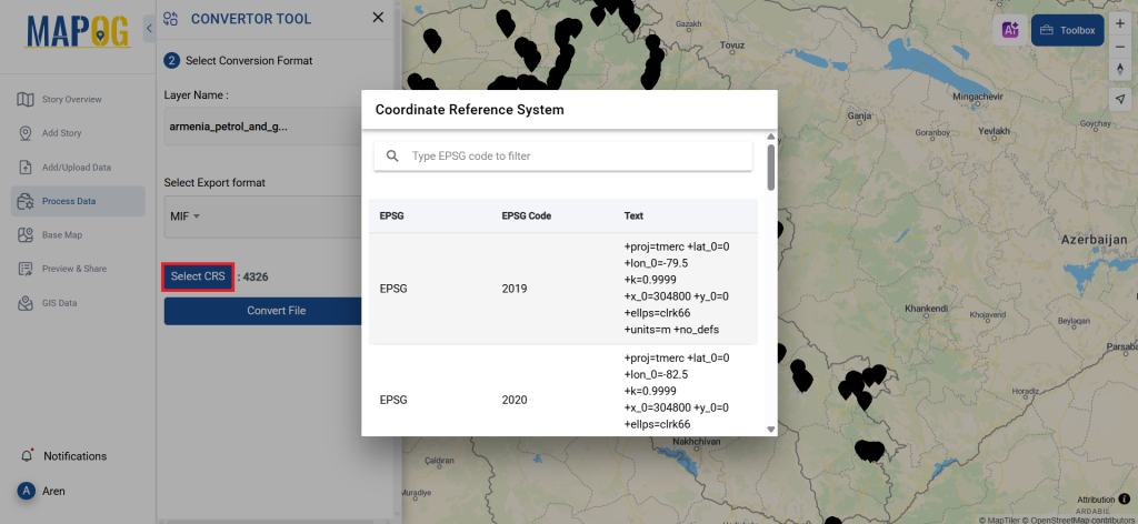
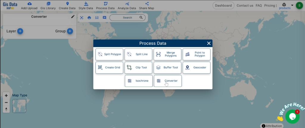
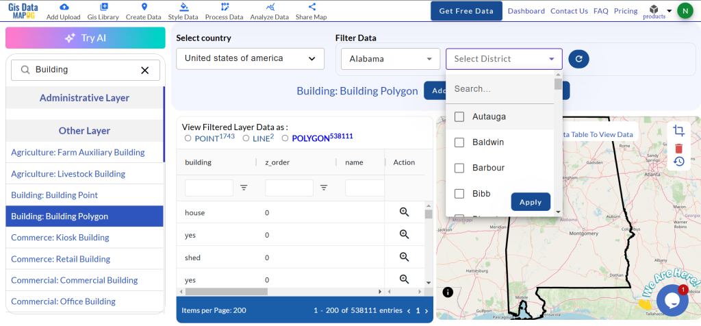
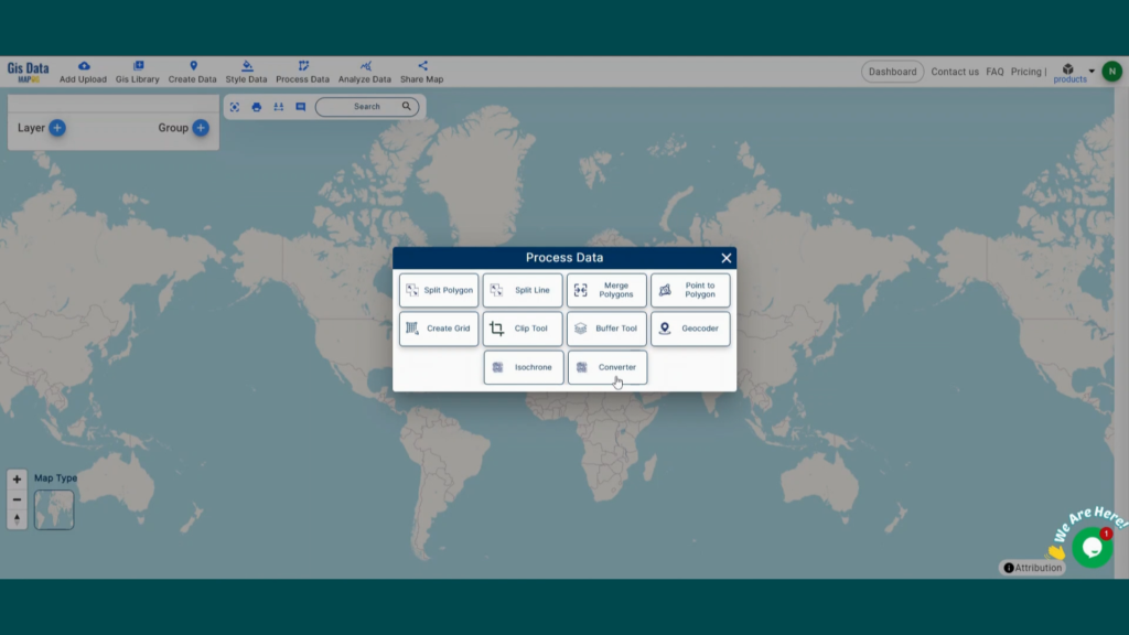
First, select your data by navigating to “Process Data” and then choosing the “Converter Tool.”

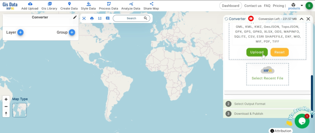
Upload your GPS file here—this is where you feed in the information that needs converting.

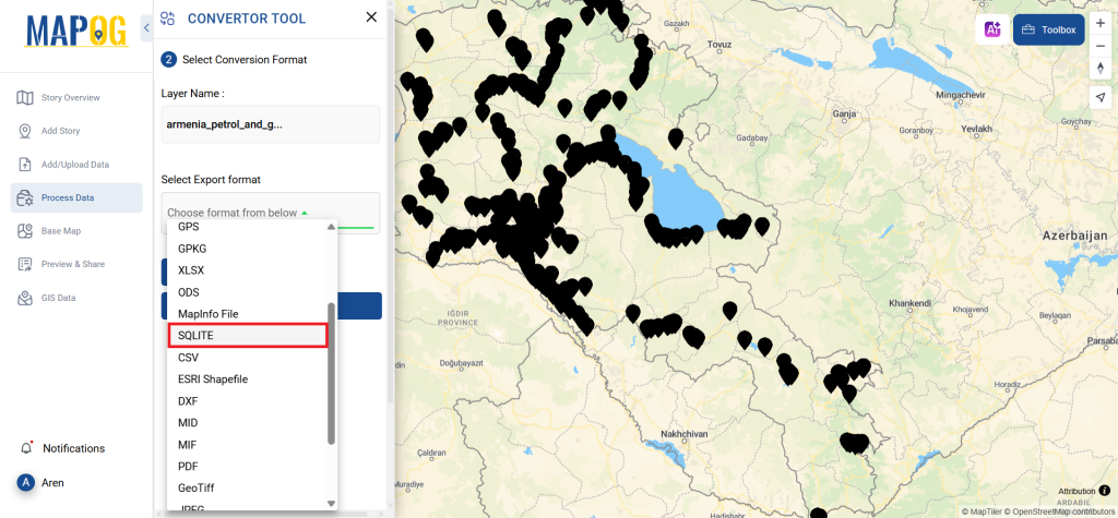
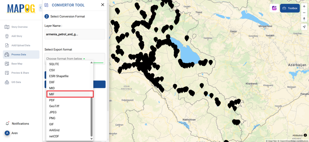
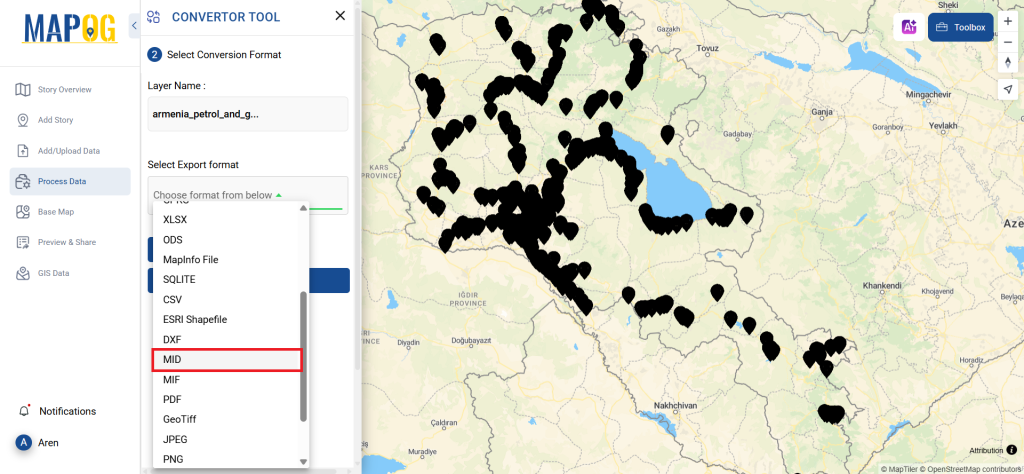
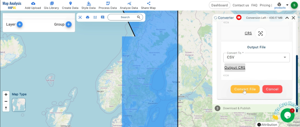
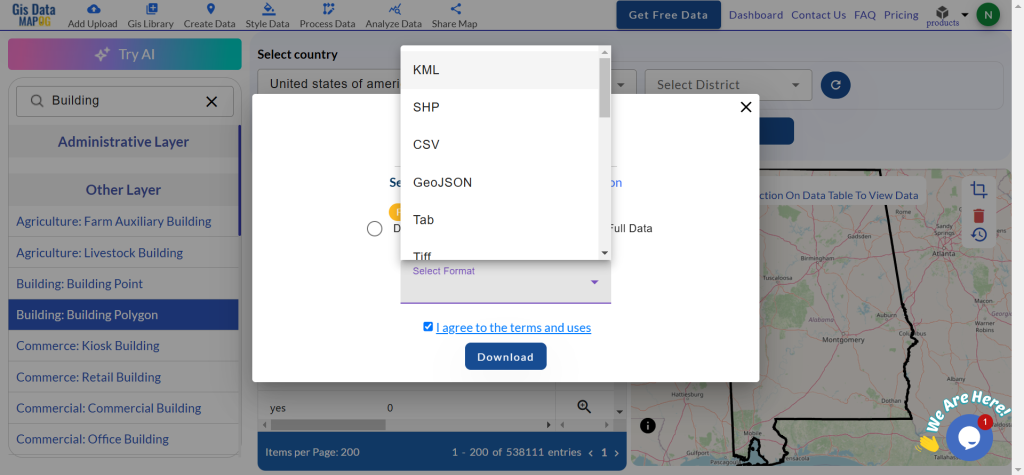
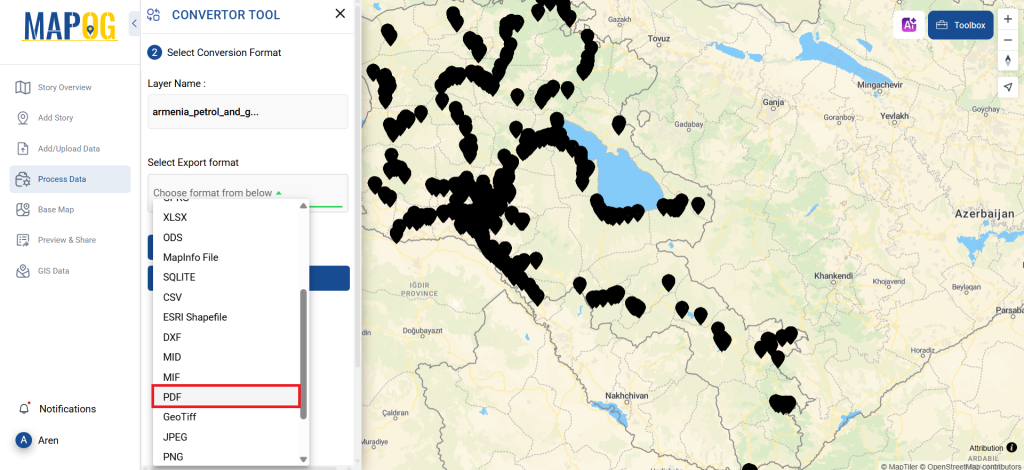
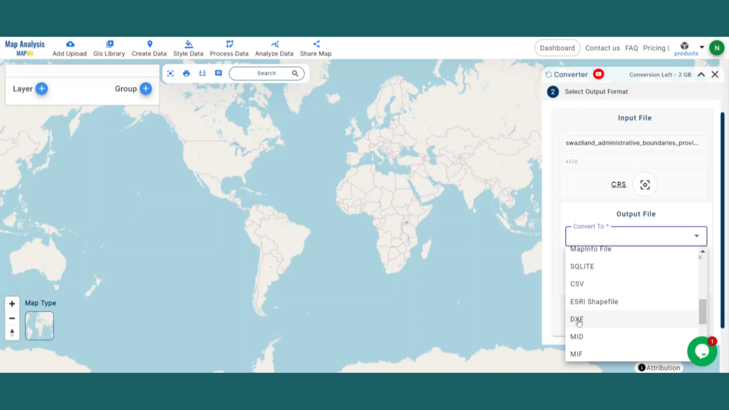
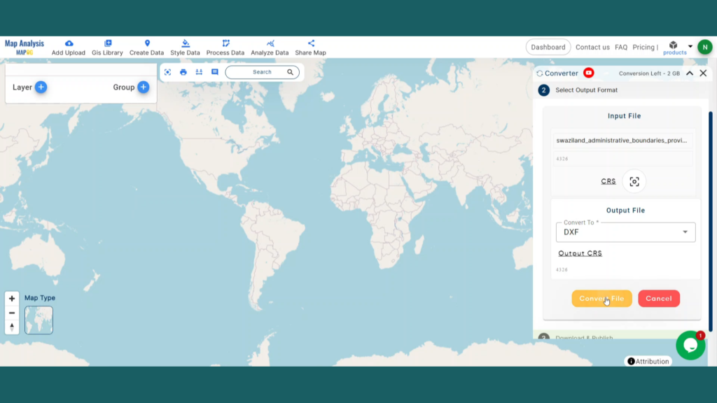
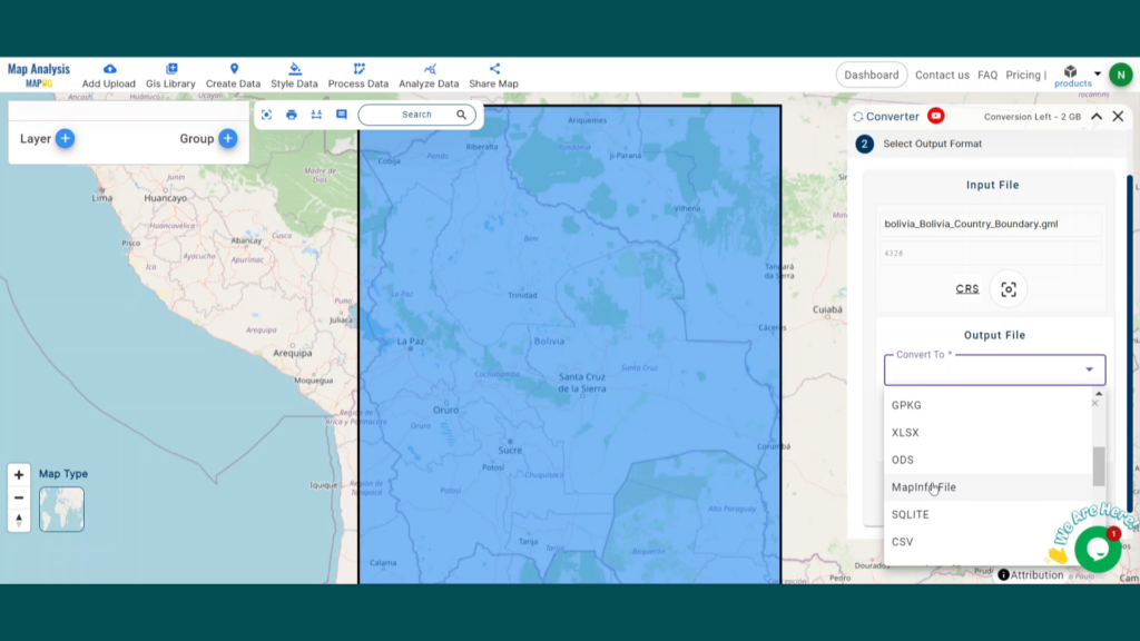
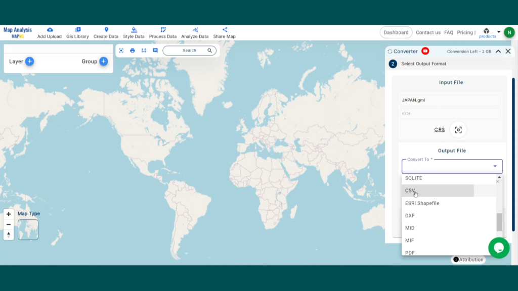
Step 2: Choose CSV as the Output Format
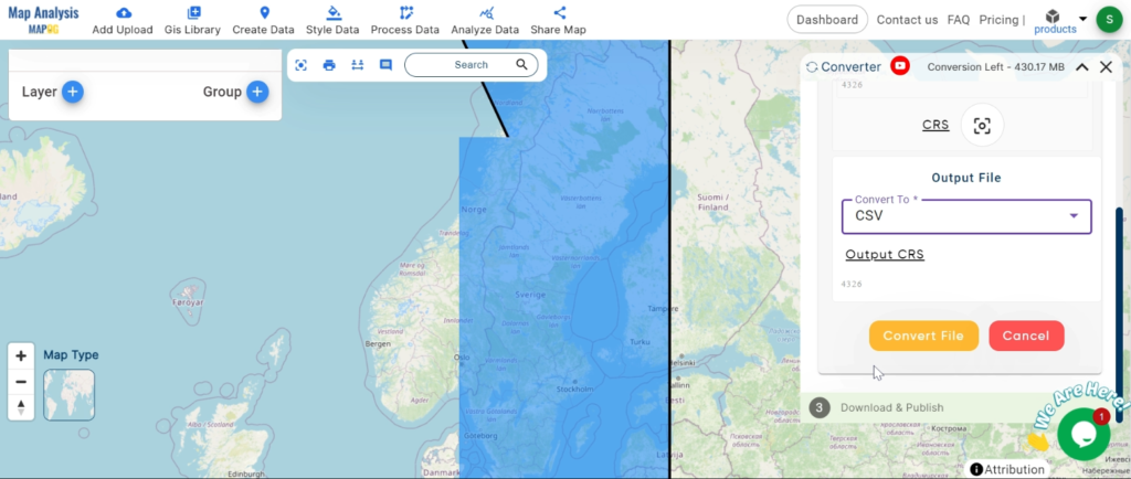
Next, decide on the output format by selecting CSV. While the tool offers various options for conversion, this guide focuses on converting your file into a CSV format.
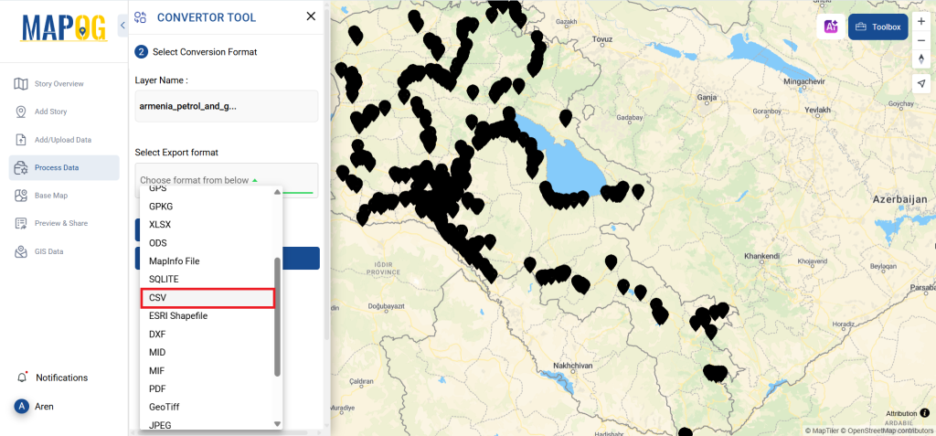
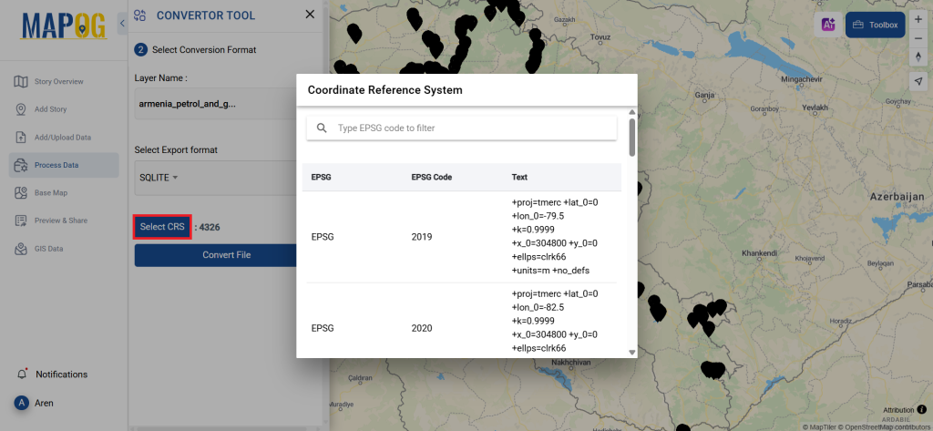
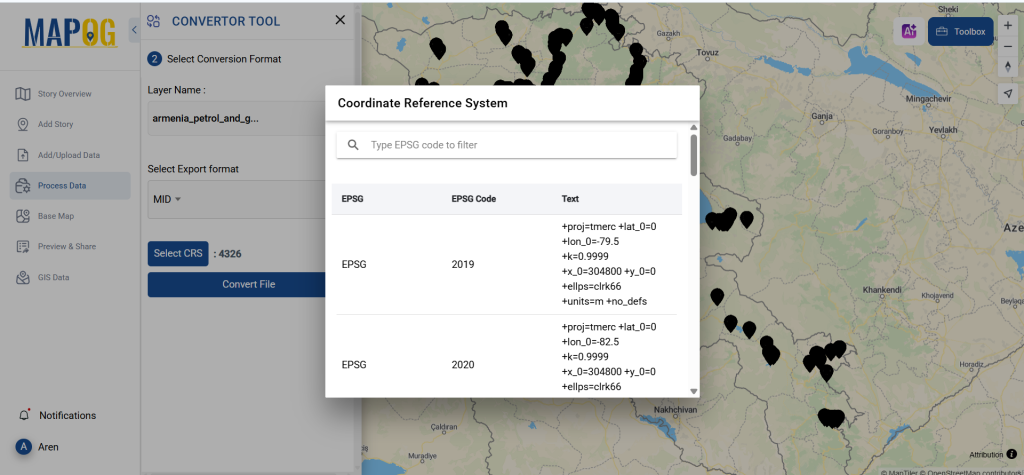
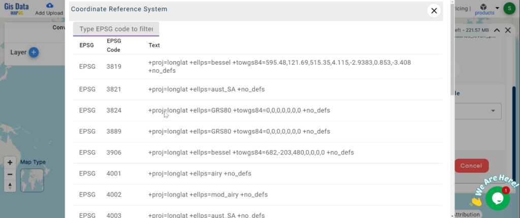
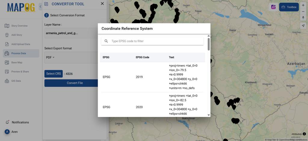
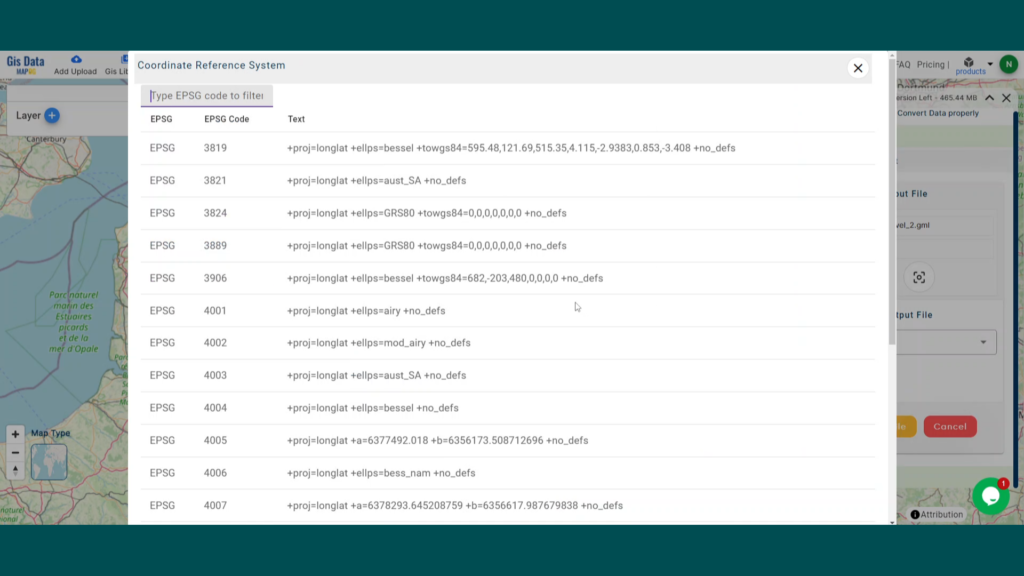
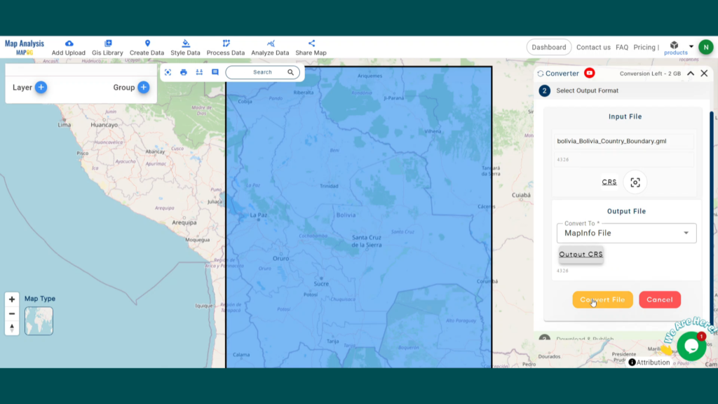
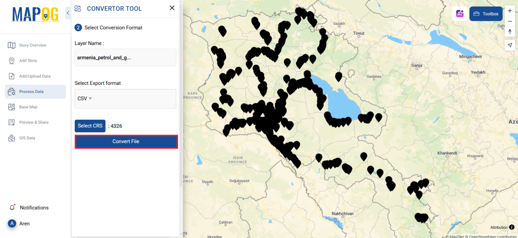
You can also set the Output CRS at this stage.

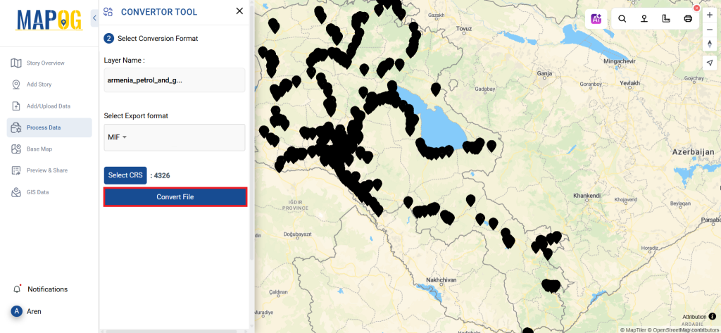
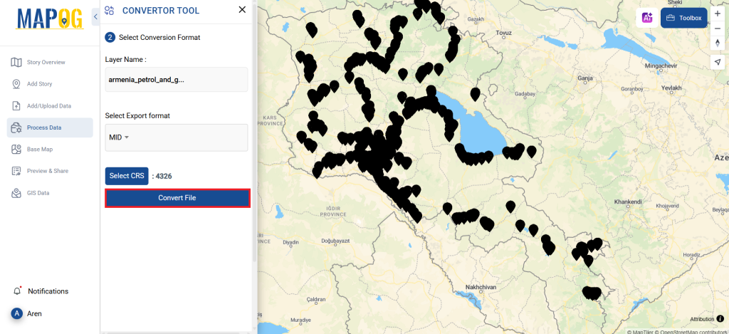
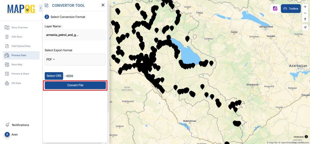
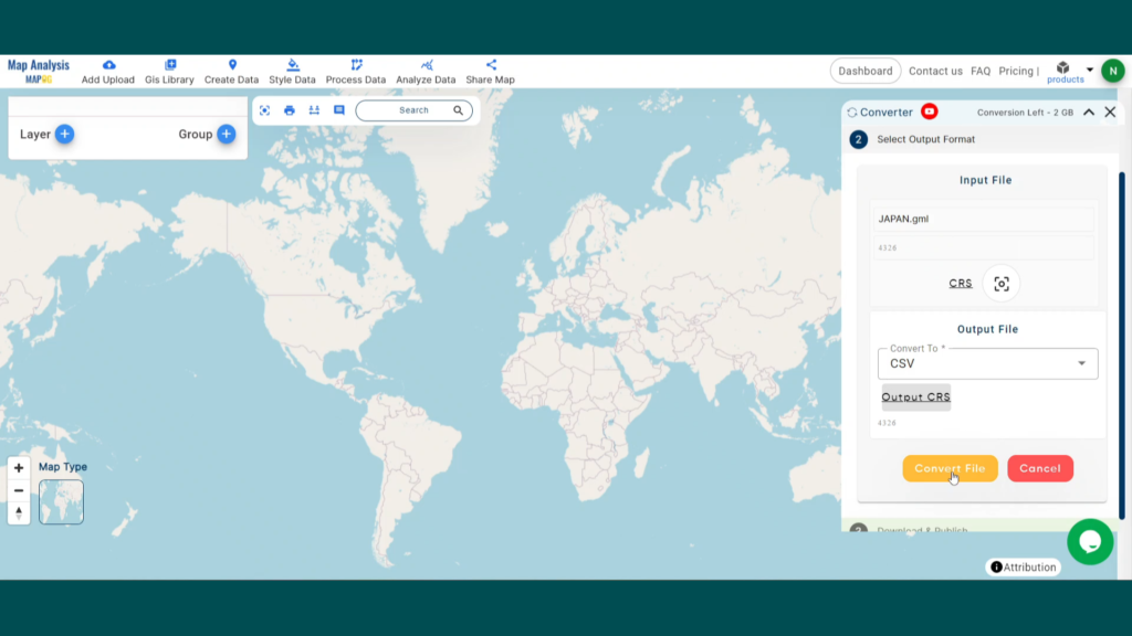
Step 3: Run the Conversion
Now, click on ‘Convert Files’ and let the tool do its magic. It will take your GPS data and convert it into the CSV format.
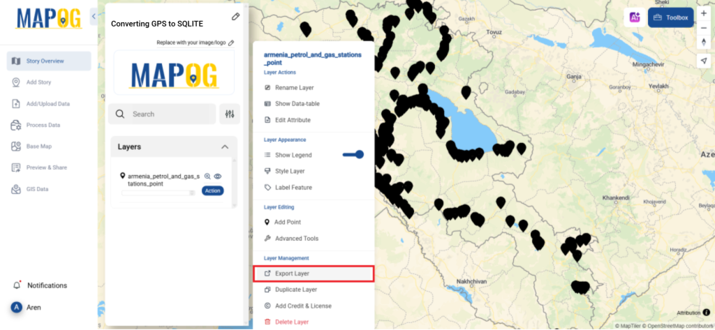
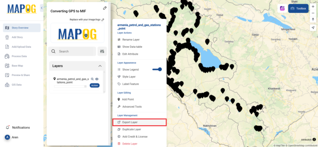
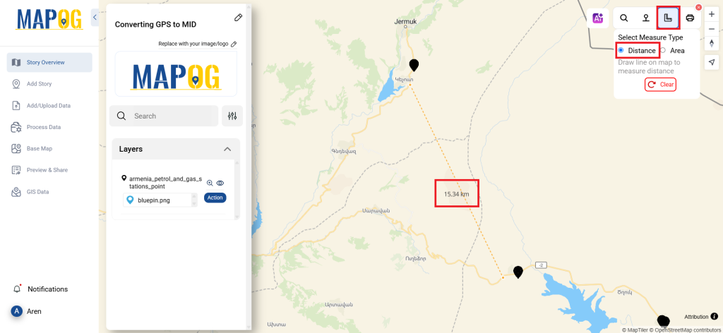
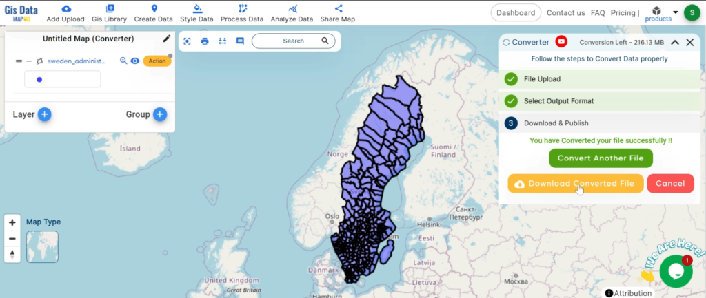
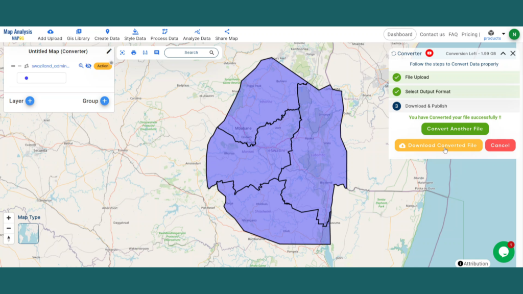
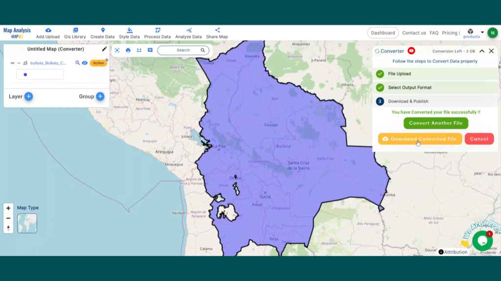
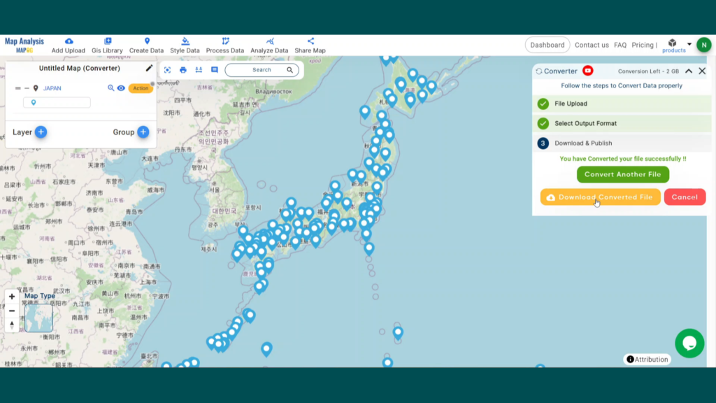
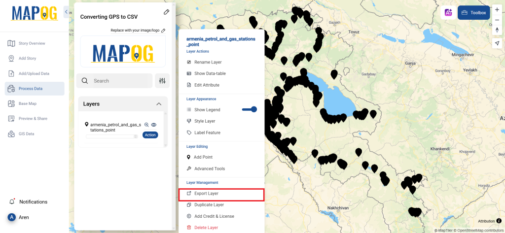
Step 4: Review and Download
Finally, take a moment to review your converted CSV data to ensure everything looks correct. Once satisfied, download the file. This step is crucial to confirm that the conversion was successful and that all your data is intact.
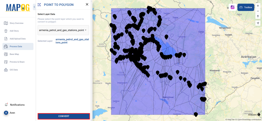
Step 5: Point to Polygon
To transform this points into polygon we can use Point to polygon. Just go to the process data option in left panel and select Point to Polygon Tool, then select the file in select layer option, and hit convert. and your file is transformed into polygons.
And there you have it! You’ve successfully used the Converter Tool in MAPOG to convert your GPS files into CSVs. With this streamlined process, handling various data formats becomes smoother and more productive, ready for any analysis you need.
With MAPOG’s versatile toolkit, you can effortlessly upload vector and upload Excel or CSV data, incorporate existing layers, perform polyline splitting, use the converter for various formats, calculate isochrones, and utilize the Export Tool.
Here are some other blogs you might be interested in:
- Convert Online GIS data : KML to PDF file
- Converting KML to GeoTIFF , Online Gis Data Converter
- Converting KMZ to SHP : Online GIS Data Conversion
- Converting TopoJSON to SHP Online : GIS Data Converter
- Converting GeoJSON to TopoJSON with MAPOG
- Converting GeoJSON to CSV with MAPOG
- Converting KMZ to KML with MAPOG
- Converting GML to KML with MAPOG
- Convert KMZ to TopoJSON Online
- Converting KMZ to GeoJSON Online
- Convert KML to MID Online
- Online Conversion KML to MIF