0Hello GIS enthusiasts! Get ready for some exciting news from MAPOG. We’re thrilled to introduce our carefully curated GIS data designed specifically for Liechtenstein. This data will give you detailed geographical insights and complete administrative boundaries. Whether you’re working on local or national mapping projects, our top-notch resource can take your work to the next level. You can easily access this data in various formats like ESRI Shapefile, KML, GeoJSON, and CSV, making integration a breeze. Don’t miss out on this fantastic opportunity to enhance your mapping endeavors with the latest Liechtenstein GIS data. Start exploring today!
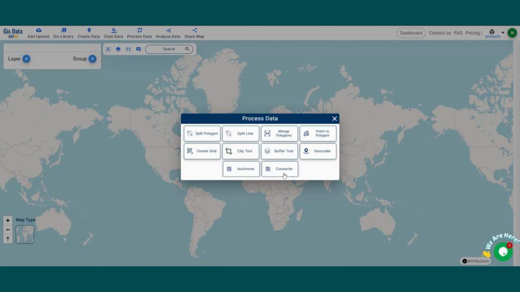
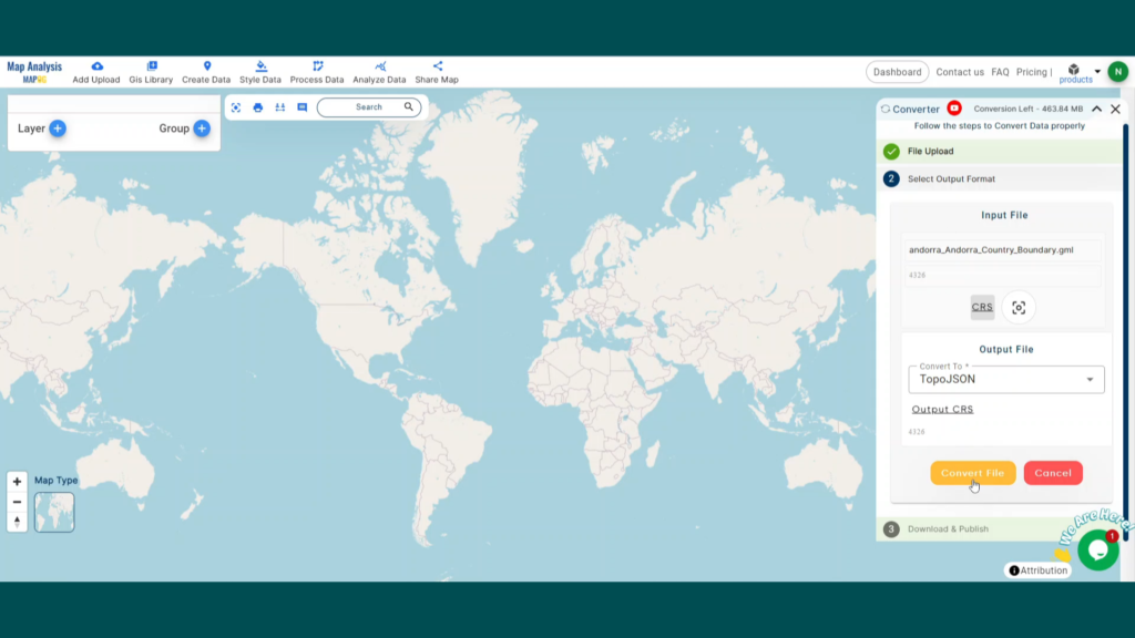
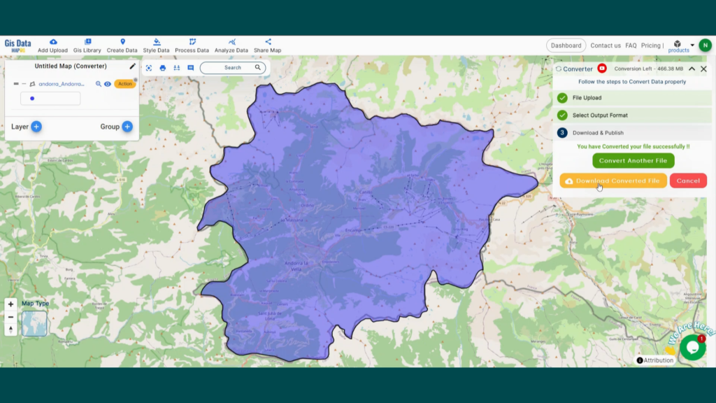
With MAPOG’s versatile toolkit, you can effortlessly upload vector and raster files, add WMS (Web Map Service) layers, upload Excel or CSV data, incorporate existing files, perform polygon splitting and merging, generate new polygon and polyline data, use the converter for various formats, conduct buffer analysis, create grids, transform points into polygons, calculate isochrones, and utilize the geocoder for precise location information.
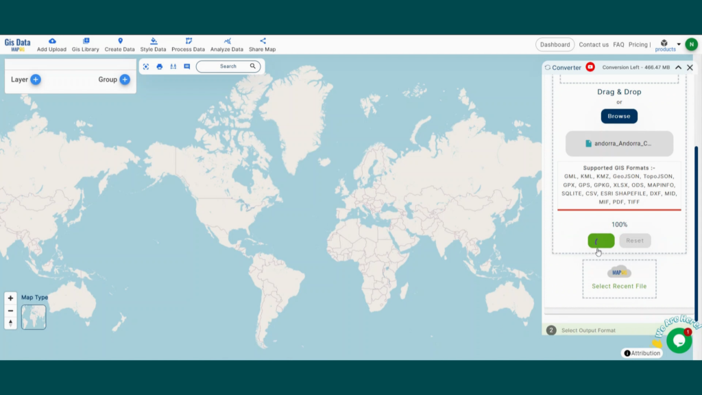
We offer an extensive array of data formats, including KML, SHP, CSV, GeoJSON, Tab, SQL, Tiff, GML, KMZ, GPKZ, SQLITE, Dxf, MIF, TOPOJSON, XLSX, GPX, ODS, MID, and GPS, ensuring compatibility and accessibility for various applications and analyses.
Note:
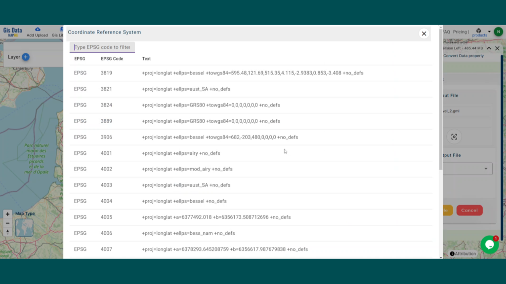
- All data available are in GCS datum EPSG:4326 WGS84 CRS (Coordinate Reference System).
- You need to login for downloading the shapefile.
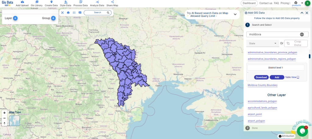
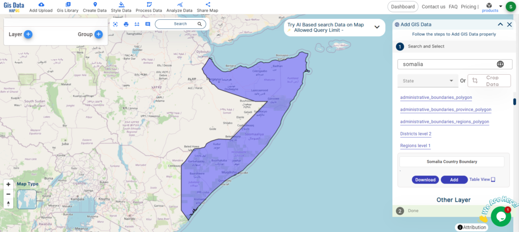
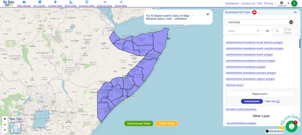
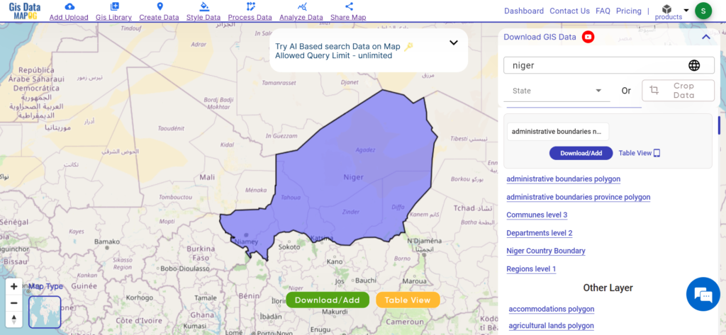
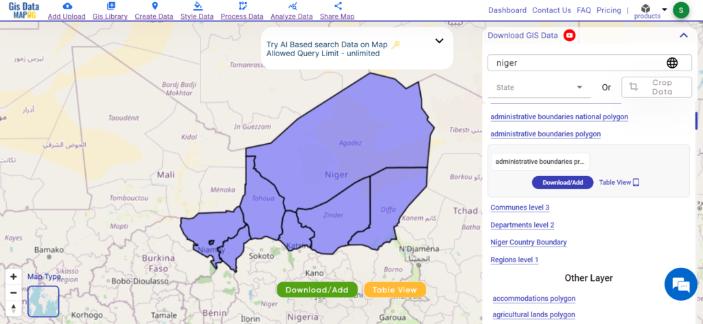
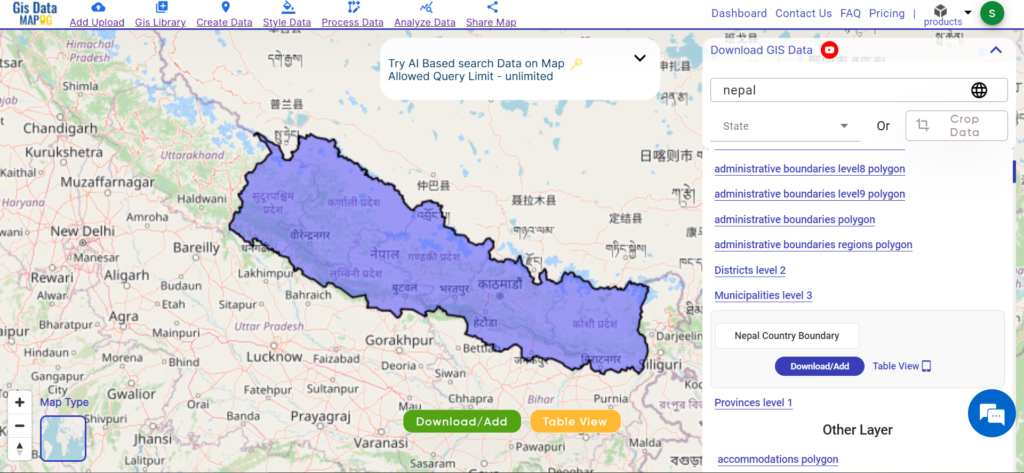
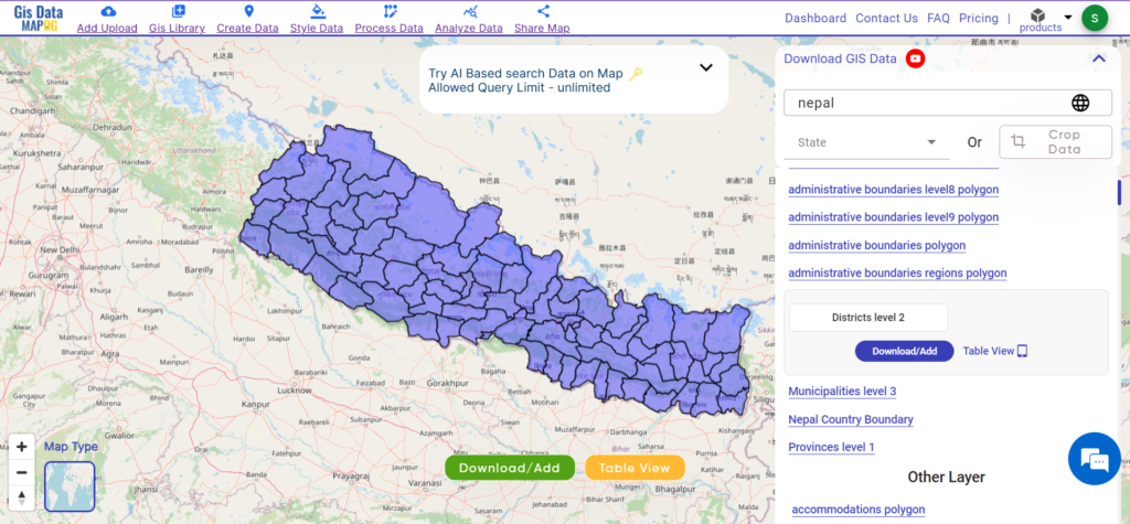
Download Shapefile Data of Liechtenstein
Liechtenstein, known as Fürstentum Liechtenstein in German, is a nation nestled within the Alpine region, positioned between Austria and Switzerland. This doubly landlocked microstate is recognized for its German-speaking populace. Despite its small size, Liechtenstein holds the distinction of being the sixth smallest country globally. Governed by a semi-constitutional monarchy, the country is led by its reigning prince.
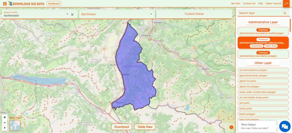
Download Liechtenstein National Boundary Shapefile
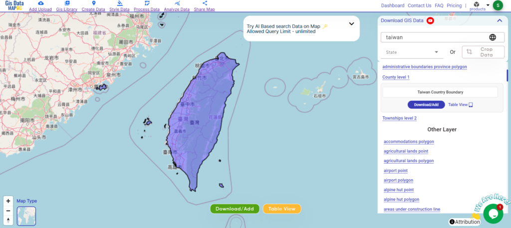
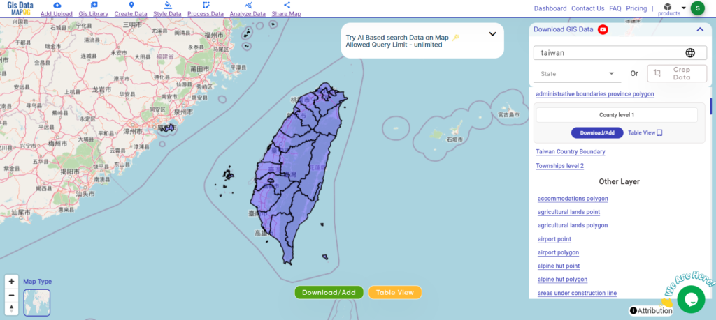
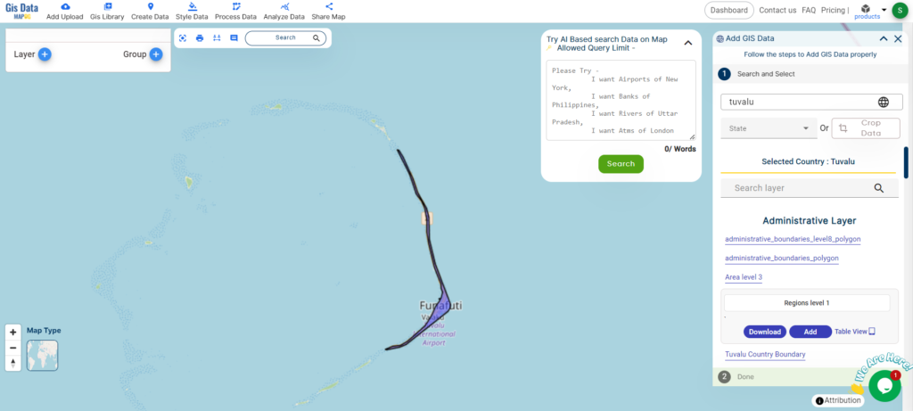
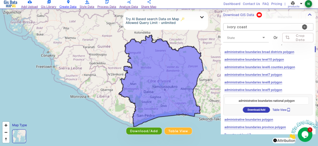
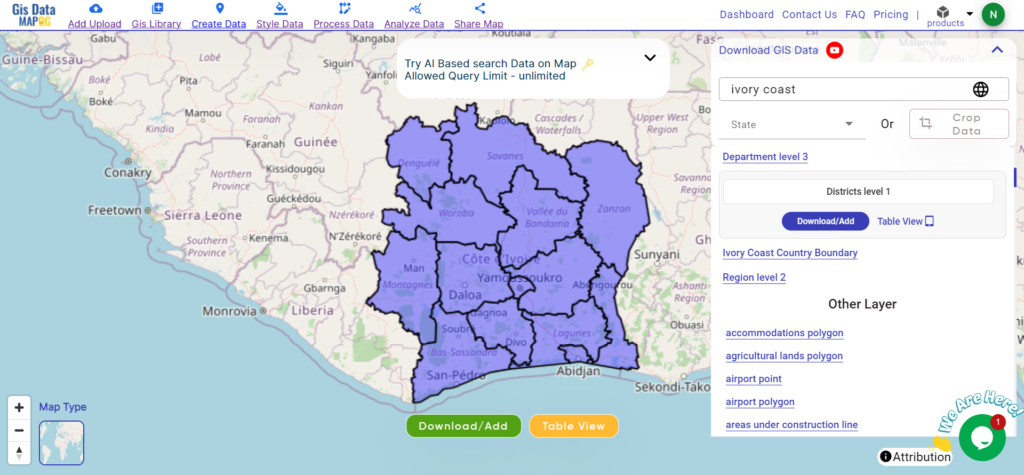
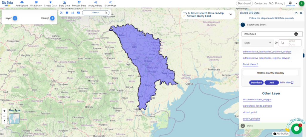
After successfully logging in with a legitimate email address, select the country you want to work with. Next, choose the specific layer you need and click on the download option. Once that’s done, pick the desired format to acquire the essential GIS data. Before proceeding with the data download, make sure to review the data table for any relevant information.
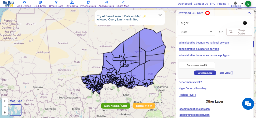
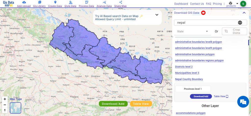
Download Liechtenstein Municipality Shapefile Data
Liechtenstein is organized into eleven municipalities, with many of them comprising a single town. Among these, five municipalities are situated in the Unterland (lower country) electoral district, while the remaining six are located in the Oberland (upper country).
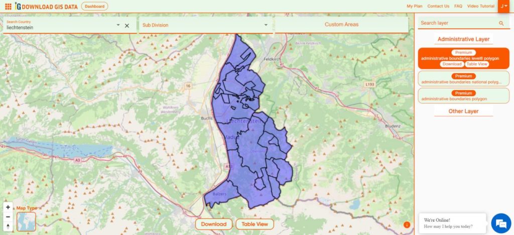
Download Liechtenstein Municipalities Shapefile
This shapefile covers following Municipalities of Liechtenstein listed below:
- Balzers
- Eschen
- Gamprin
- Mauren
- Planken
- Ruggell
- Schaan
- Schellenberg
- Triesen
- Triesenberg
- Vaduz
Download Liechtenstein National, municipalities Combined Shapefile Data
Liechtenstein’s administrative divisions are organized into eleven municipalities, each contributing to the country’s local governance and management.
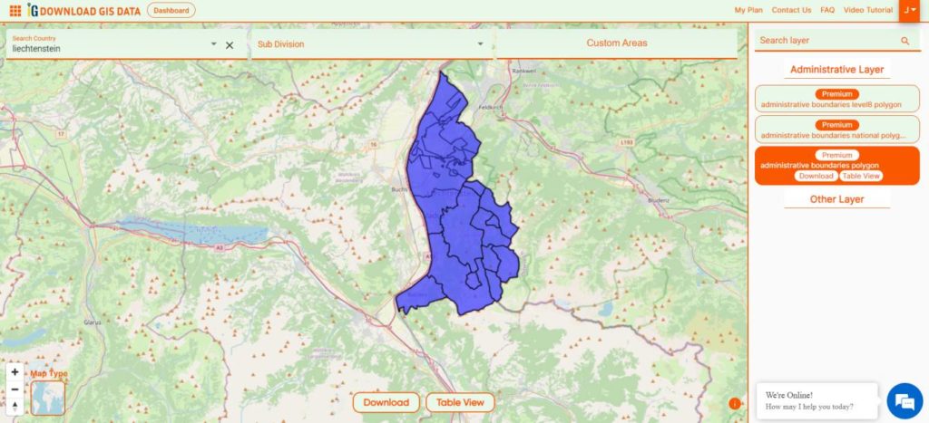
Download Liechtenstein National, Municipality Shapefile
Other GIS Data:
- Download Liechtenstein Railway Lines Shapefile
- Download Liechtenstein Rivers lines Polygons Shapefile
- Download Liechtenstein Highway Lines Shapefile
- Download Liechtenstein Road Lines Shapefile
Above all links are provided for GIS data of Liechtenstein if you are looking for any specific data please write us on support@mapog.com
Download Shapefile for the following:
- World Countries Shapefile
- Australia
- Argentina
- Austria
- Belgium
- Brazil
- Canada
- Denmark
- Fiji
- Finland
- Germany
- Greece
- India
- Indonesia
- Ireland
- Italy
- Japan
- Kenya
- Lebanon
- Madagascar
- Malaysia
- Mexico
- Mongolia
- Netherlands
- New Zealand
- Nigeria
- Papua New Guinea
- Philippines
- Poland
- Russia
- Singapore
- South Africa
- South Korea
- Spain
- Switzerland
- Tunisia
- United Kingdom Shapefile
- United States of America
- Vietnam
- Croatia
- Chile
- Norway
- Maldives
- Bhutan
- Colombia
- Libya
- Comoros
- Hungary
- Libya
- Estonia
Disclaimer : If you find any shapefile data of country provided is incorrect do contact us or comment below, so that we will correct the same in our system as well we will try to correct the same in openstreetmap.