In the previous session we learn about creating basic map. Today we throw light on QGIS 3.2.1- Download/export map in PDF, SVG, Image.
Try our tool for creating interactive maps without writing a single code. MapOG Tool
QGIS 3.2.1- Download/export map
First add a vector layer from exercise data (we are using). If want to use data from other sources like Google Map or bing.
Or else download sample data for study-
QGIS allows you to create multiple map from single layer. For creating map layout. Go to project >>>New print layout

Once you choose New Print Layout a dialog box will appear for a tittle.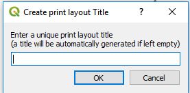
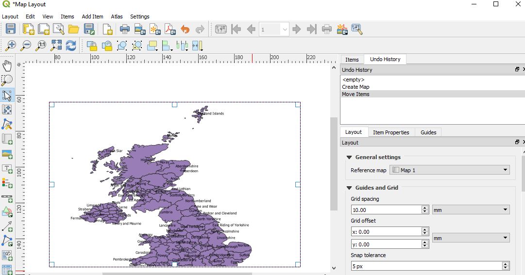
A new screen will be open for map layout. Add a new map to the layout from left side icon from tool box.

Or, Add item>> Add Map and hold the left mouse button and drag the rectangle. Map will be rendered on the layout.
QGIS 3.2.1 – Adding a tittle
Your map is looking good but without tittle it seems like food without salt. So, lets add some elements in map.
- Click on this icon for adding tittle.

- Click on the page, move near the map where you want to place tittle. A dummy text will be shown “lorem ipsum” as a default. You can change text by first selecting item and then expand the label tab in layer properties. You can enter text as html also.
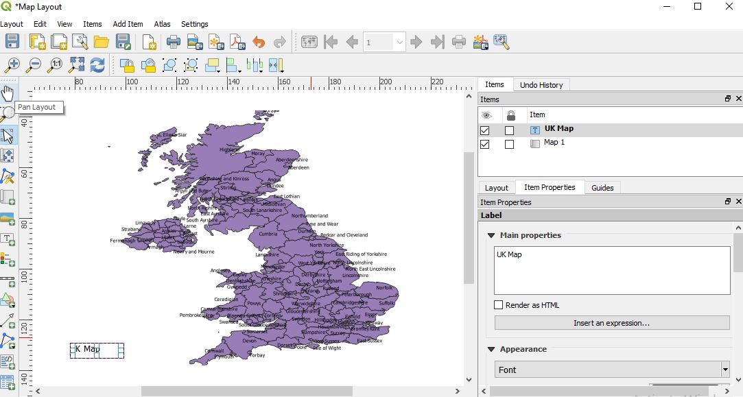
You can Resize the label according to your choice.
QGIS – Adding Legend
For making the map more understandable to the readers you can add legend. Go to Add item and tap add legend or by selecting the icon. ![]()
And click on the page, where you want to place it.
QGIS – Add a scalebar
Go to Add item and select add scale bar.
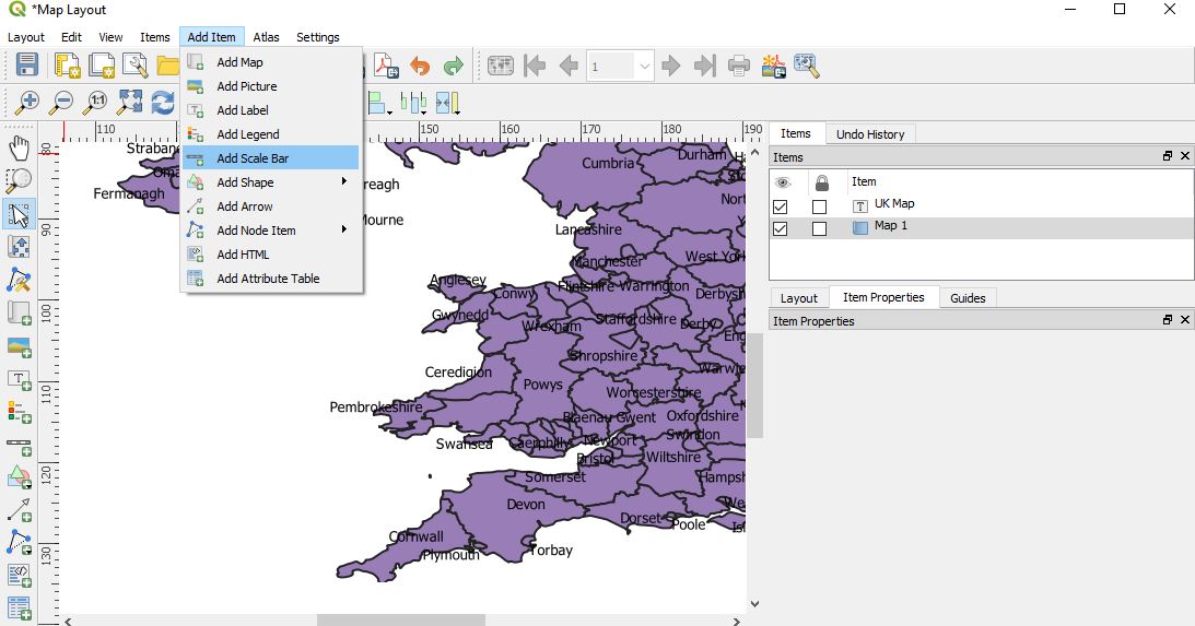
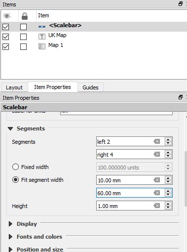
Click on the layout where you want to put scale. You can customize it in item properties. (make sure to select the item first)
QGIS – Export Map as SVG, Image and PDF
Try MapOG Tool for creating beautiful map and export map into PDF and Image
When you finally done with all the requirements of map, you can easily export map by buttons provided in the layout toolbar. If you want to print then it also can done with print button.
You can exports as following formats:
- Export as Image
- Export as SVG
- Export as PDF
You can export map as image in PNG, BMP, CUR, TIFF, JPEG etc.
SVG format is best for cartographer because editing of map require for publication. SVG stands for “Scalable Vector Graphic”.
PDF format is easy going for clients so that they get print the pdf if they require.
So, today we learn about the print layout map option in QGIS 3.2.1. If you encounter any problem in doing then comment.
Also Check: Pin/unpin, move label and diagram in QGIS, Select, save feature as new layer in QGIS
My printer is having an extremely hard time printing the vector PDF outputs. The seem to crash on import into AI etc. Any idea how I can fix this without using the raster function?