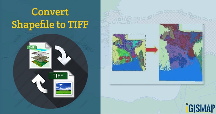
Shapefile is a vector data format for storing geographical data and associated attribute information. It is developed and regulated by ESRI as open specification for data interoperability among ESRI and other GIS software products. Shapefile can be point, line, or polygon features.
TIFF (also known as Tagged Image File Format) is a file format for transferring, storing, and displaying raster images. Scanned aerial photography and maps, as well as digital satellite imagery and other geographic data, can be found in this file format.
GeoTIFF is a public domain metadata standard which allows georeferencing information to be embedded within a TIFF file. The potential additional information includes projections, coordinate systems, ellipsoids, datums, and everything else necessary to establish the exact spatial reference for the file.
Convert Shapefile to TIFF using IGIS MAP Tool. Through this tool you can convert Shp into SQlite, SHP to KML, KML to GeoJSON, KMZ to GPX and many more.
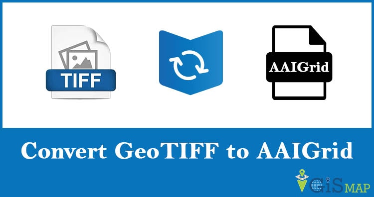
IGISMAP to Convert Shapefile to GeoTIFF
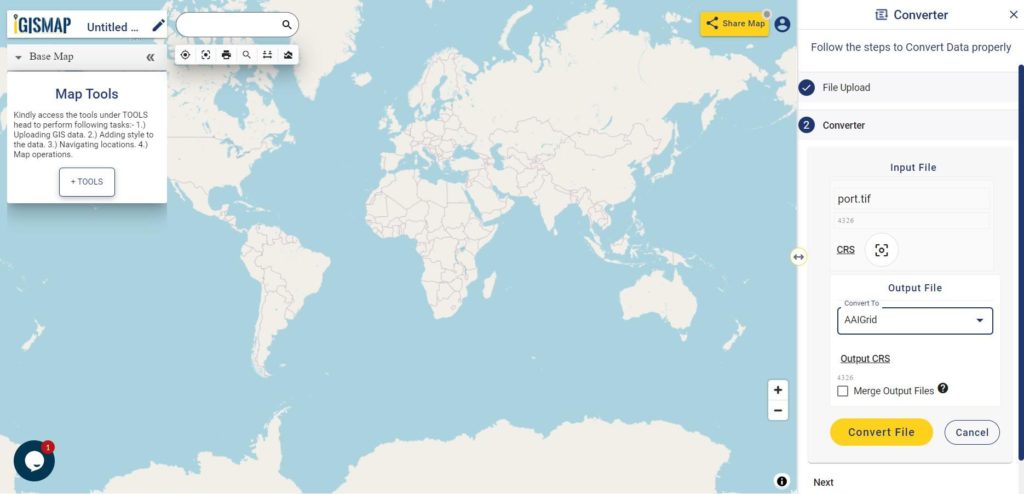
For Shapefile to GeoTIFF conversion, go to Converter tool, after logging in with your registered email and password from IGIS. If you are a new user, click the Sign Up button in the Login popup and register to IGISMAP by filling the details.
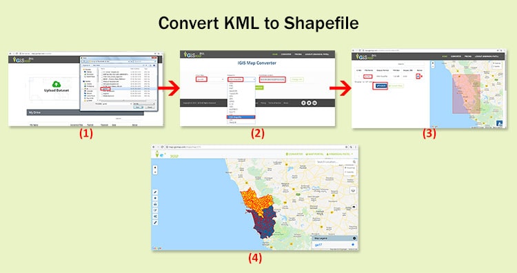
There are three main steps for using GIS Converter:
- Upload the data
- Choose the format to which it should be converted
- Download the converted file
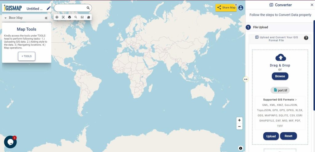
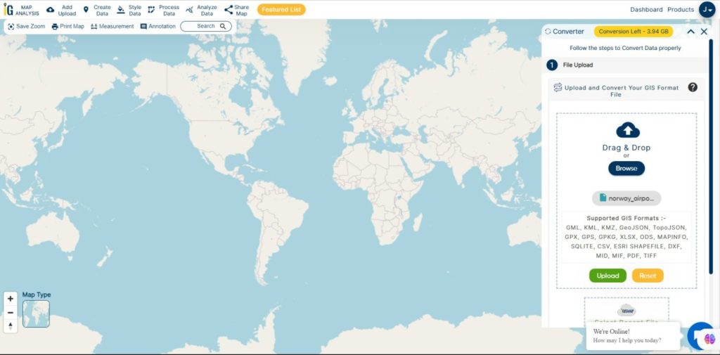
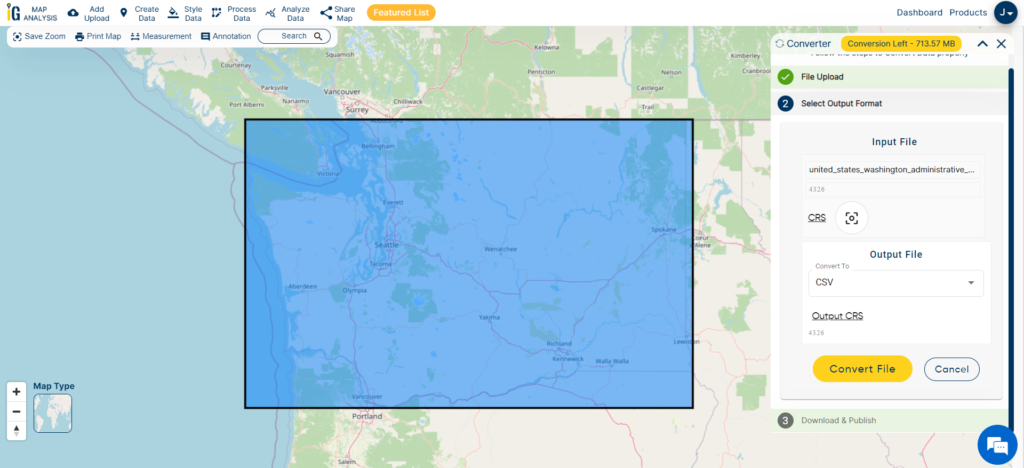
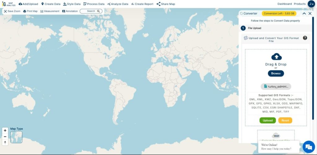
Step one is to upload your Shapefile which you want to convert. You can upload your file from system or select from the Recent Files.

Here we have uploaded the Shapefile of the California state of USA.
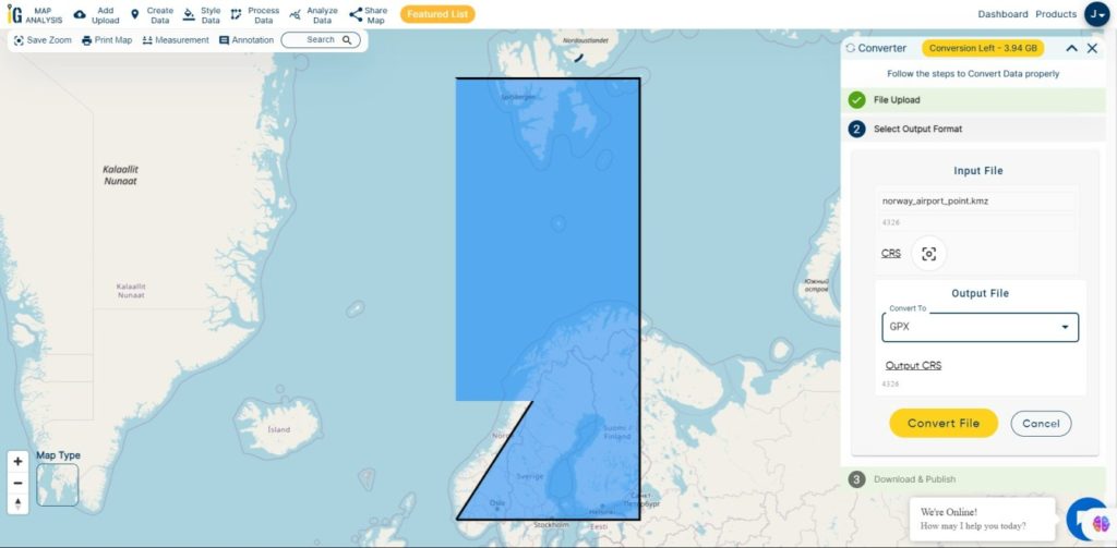
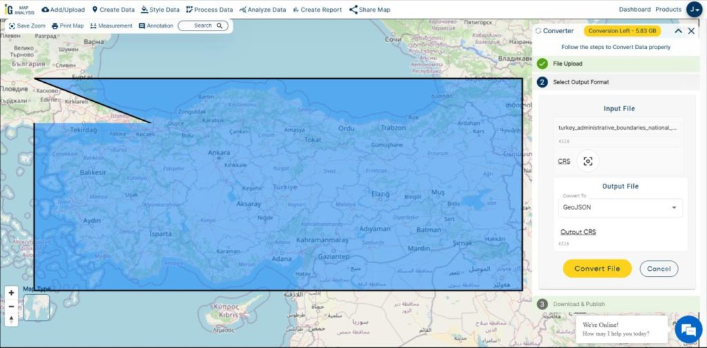
Step two is to select the output format from the dropdown for the converted file, in this case its GeoTIFF. You can also set the Coordinate Reference System of your preference. As a default CRS will set to WGS 84 (World) [EPSG:4326]. Now Now Click on the Convert File.

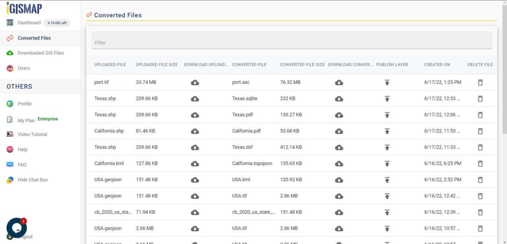
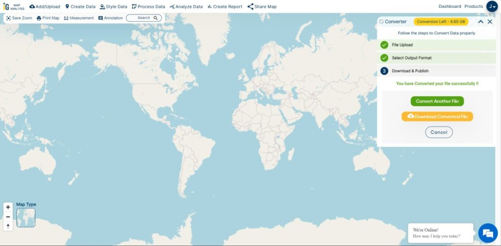
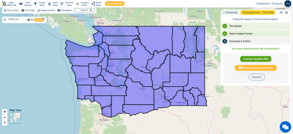
After clicking the Convert File button, your GeoJSON file will be converted to GeoTIFF file after a few seconds and will be available for downloading in the Converted Files section of the dashboard.
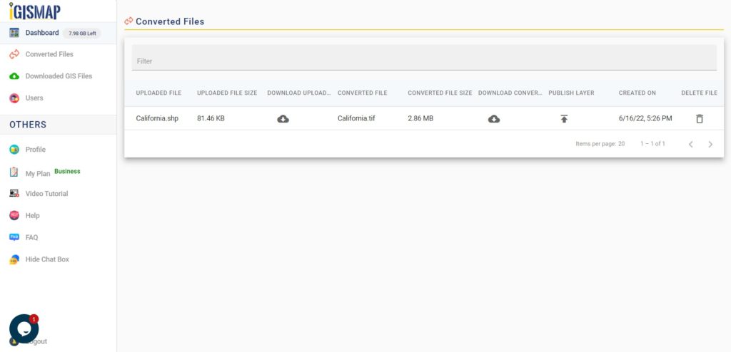
Raster files are currently not available for processing in IGISMAP, thus the output GeoTIFF file cannot be visualized in the map canvas. Instead it will be available for download in the Converted Files section.
Converted Files section from the dashboard contains the list of the details of all the conversion done in your account, providing both input and output data available for download their corresponding formats.
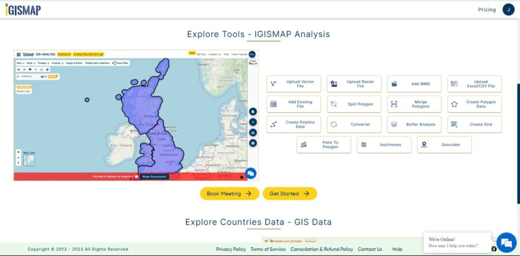
Usage of IGIS MAP Tool –