This guide will walk you through the process of how to convert SQLITE to GPX format using the Converter Tool in MAPOG. Whether you’re new to MAPOG or, alternatively, a seasoned user, this step-by-step tutorial will clearly and confidently simplify the conversion process for you, ensuring that you can easily convert SQLITE to GPX with confidence.
Key Concept to Converting Files:
Moreover, the Converter Tool in MAPOG acts as a bridge for transforming data from one format to another. In other words, think of it as a seamless process where you input data in one format, and it subsequently converts it into another format that better fits your analytical needs. Additionally, GIS Data can be exported in different formats, therefore making it versatile and useful for a variety of applications.
Online GIS Data Conversion
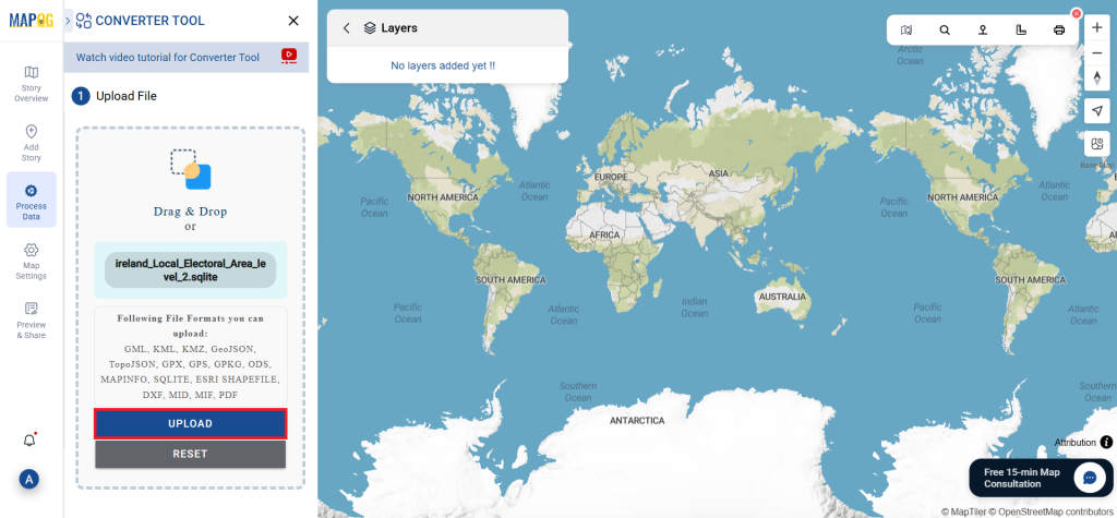
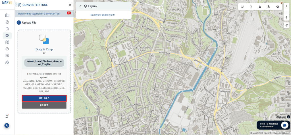
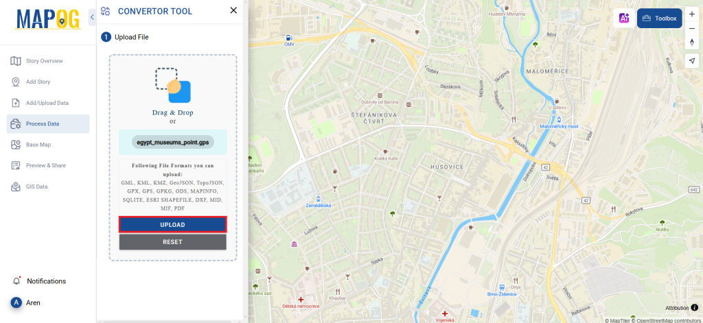
Step 1: Upload the Data:
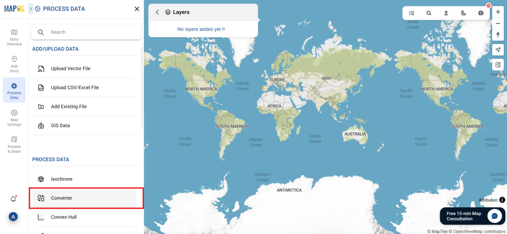
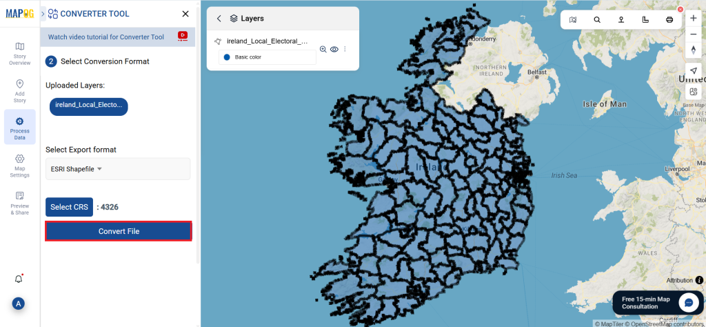
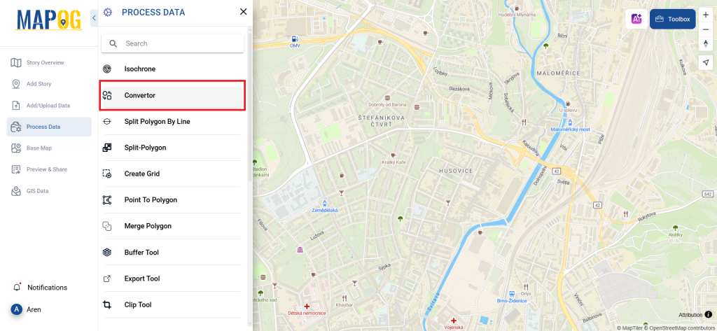
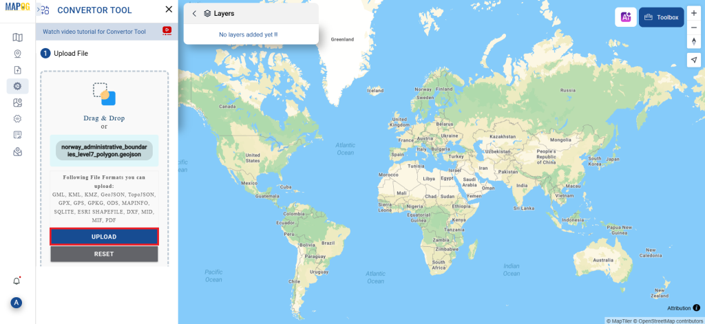
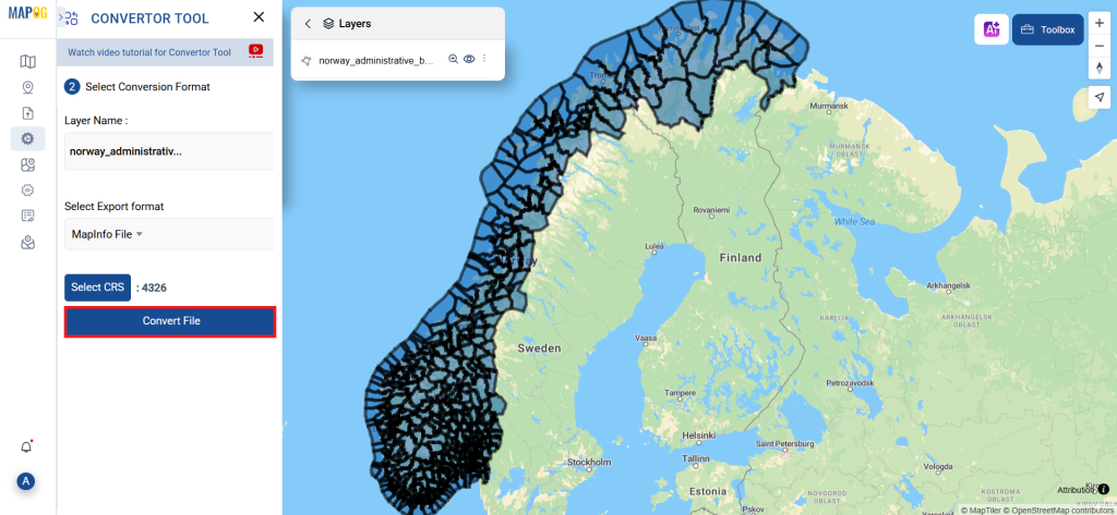
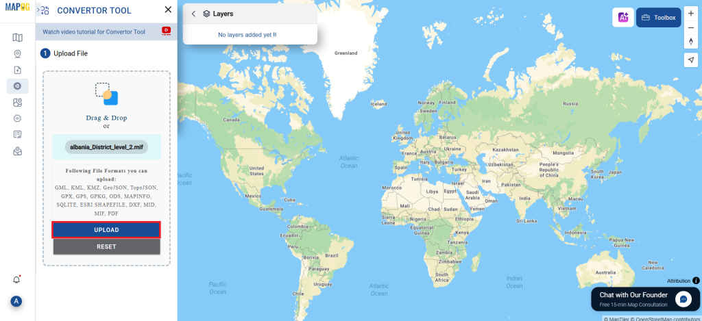
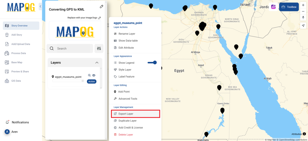
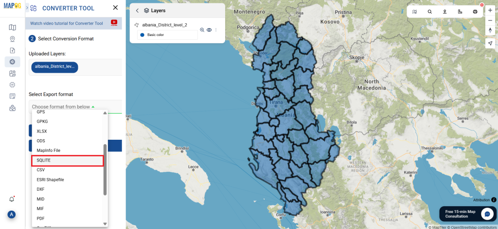
- Go to “Process Data” and click on “Converter Tool” option.

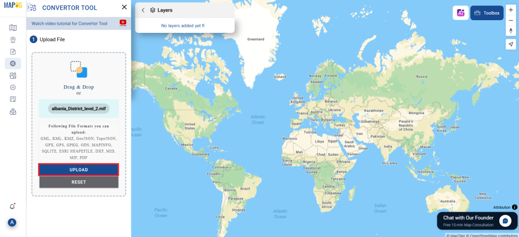
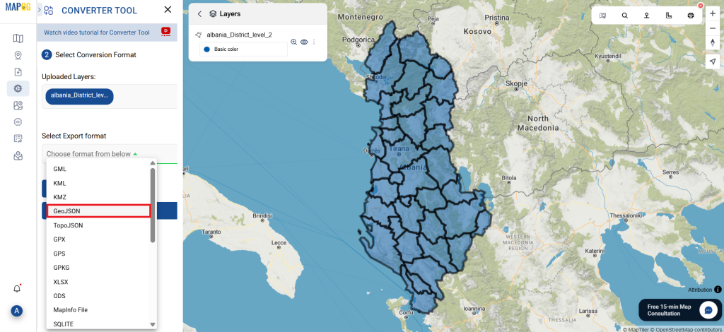
2. Upload your SQLITE file. This is the starting point where you provide the data that needs to be converted.

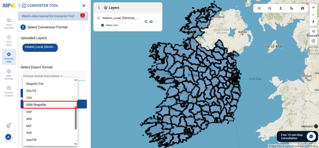
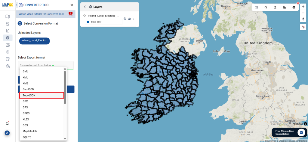
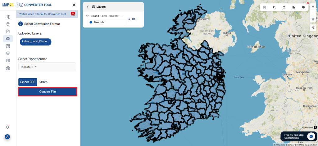
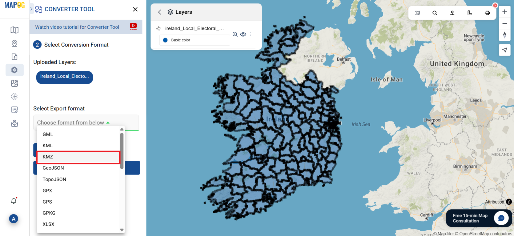
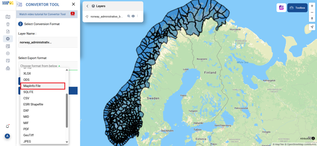
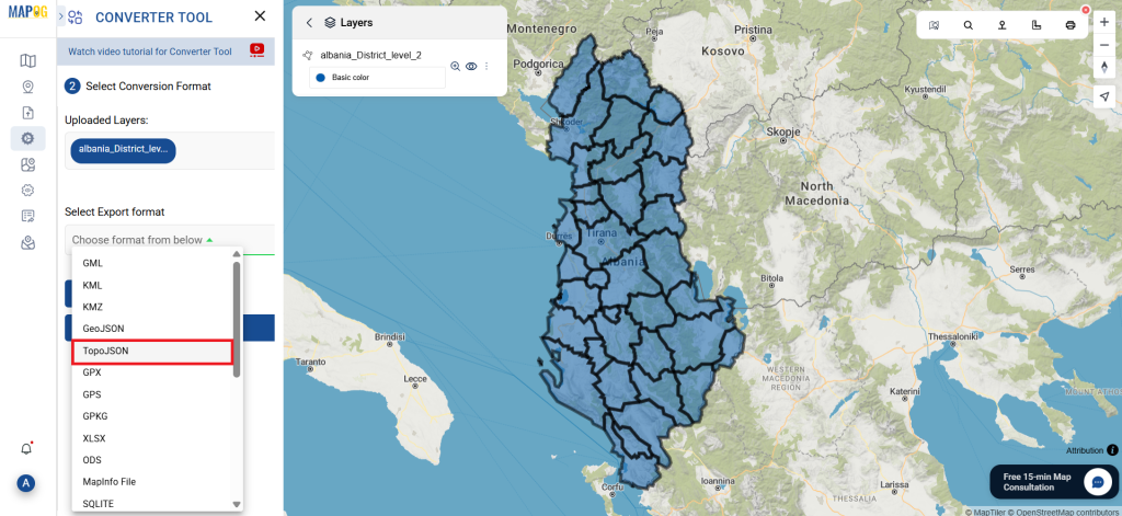
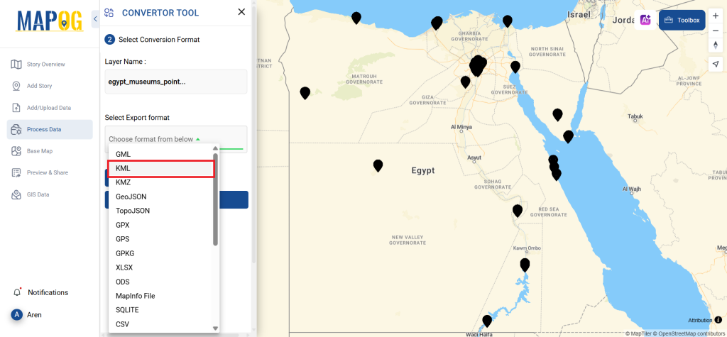
Step 2: Select the Format for Conversion:
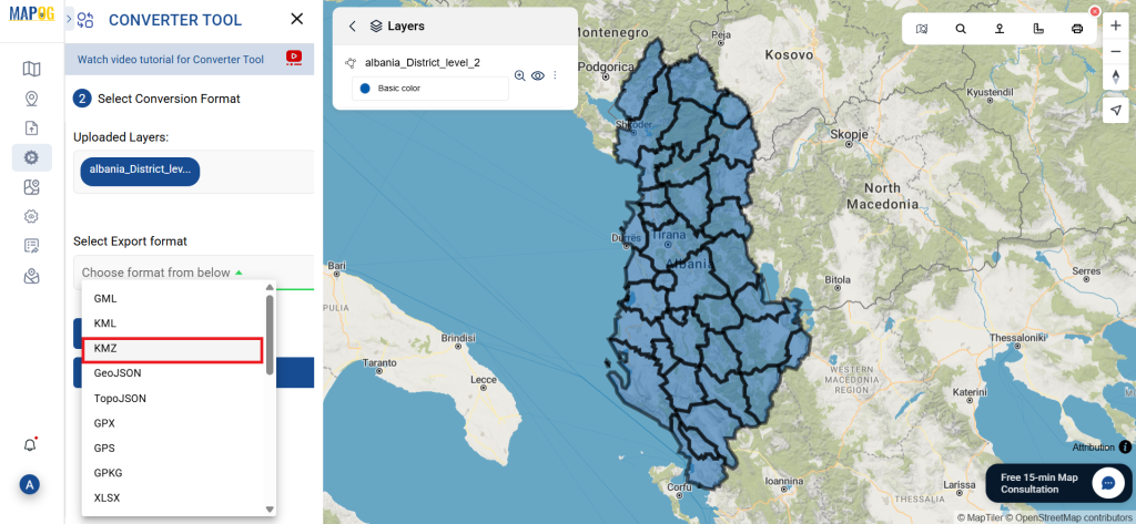
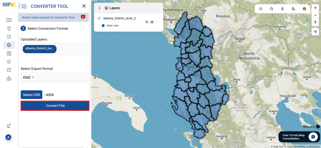
- Choose GPX as the output format if your goal is to export just the data. While the tool offers various options to achieve the result, this guide focuses on converting the file to GPX.
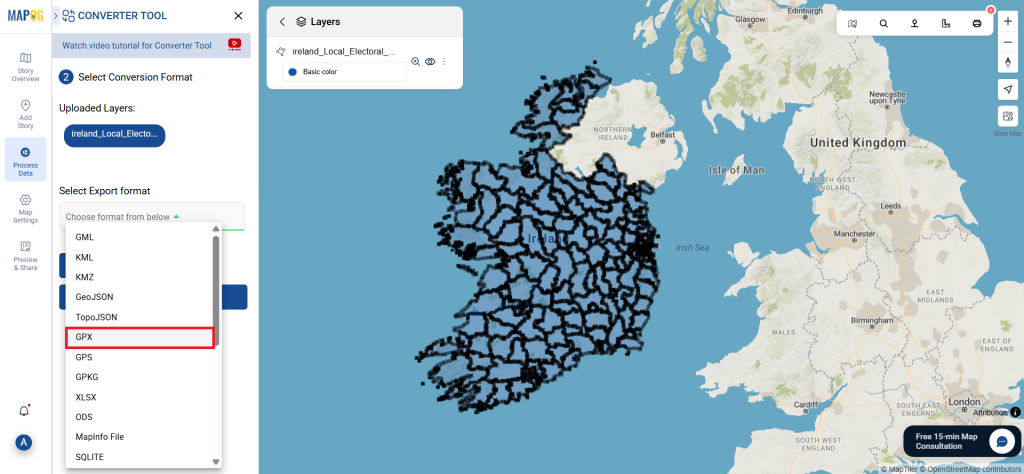
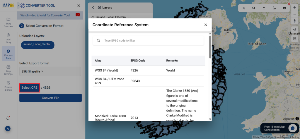
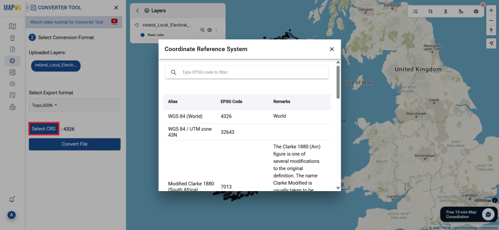
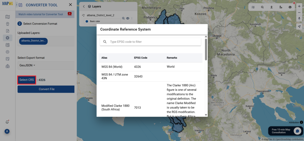
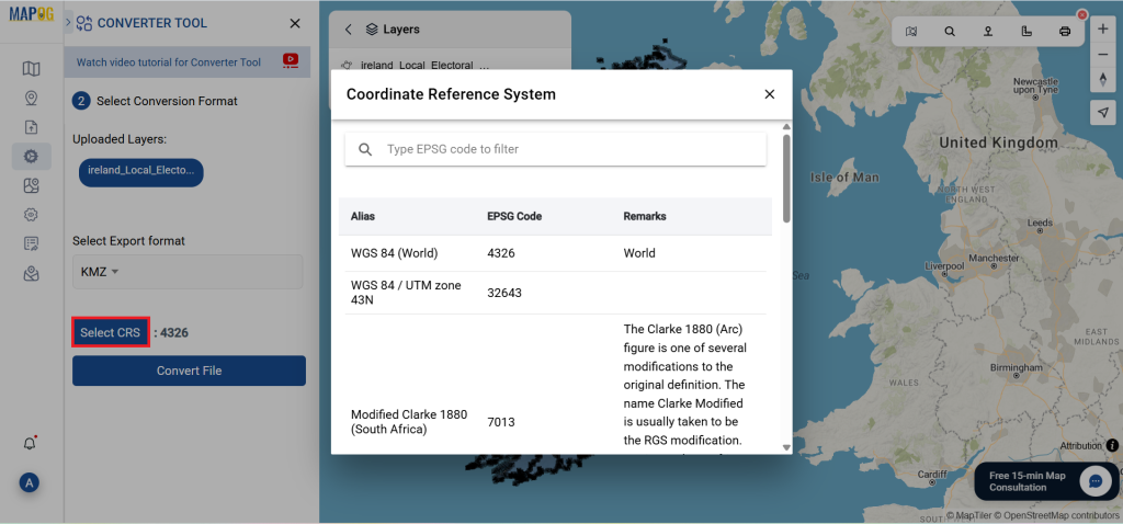
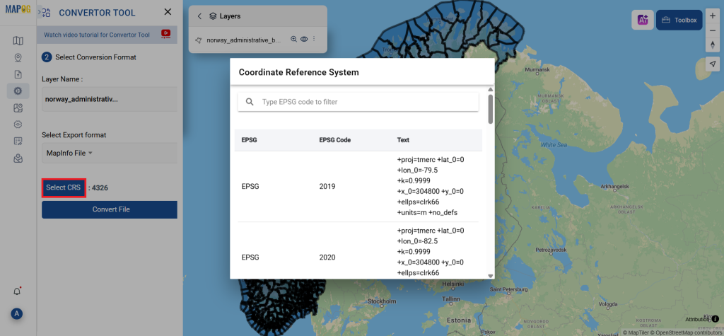
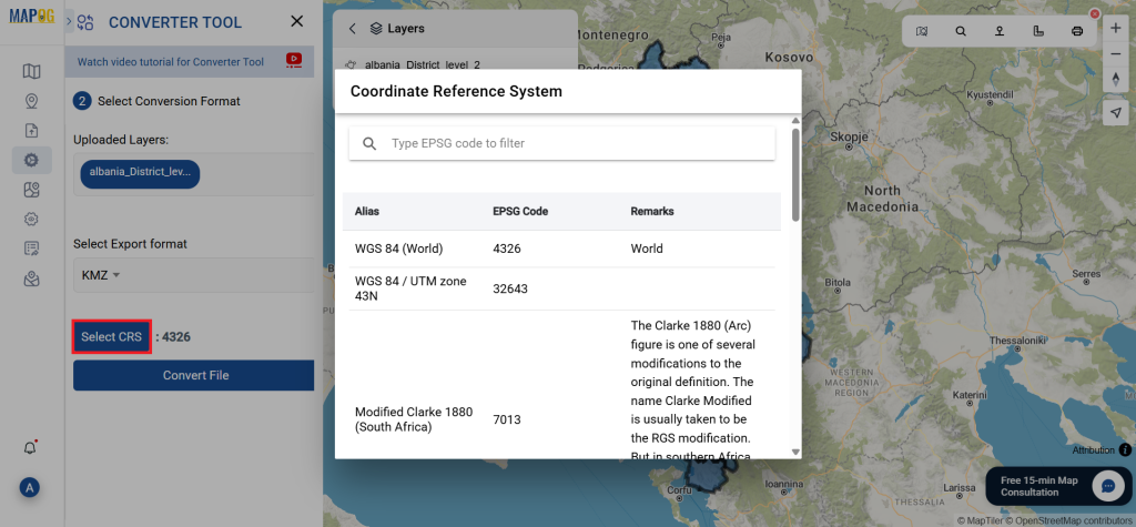
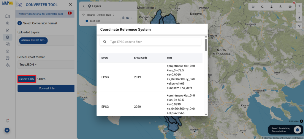
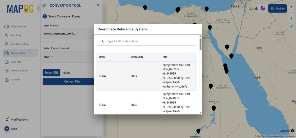
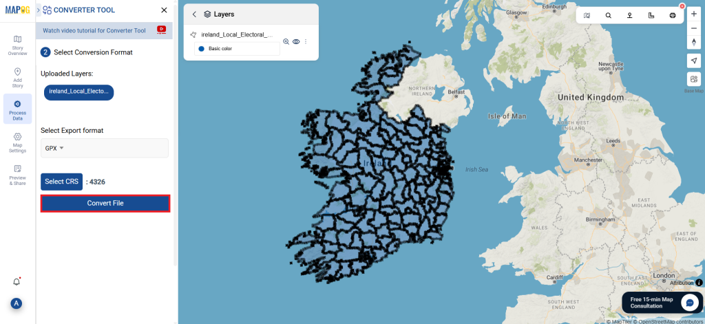
You can also set the Output CRS as per your need.
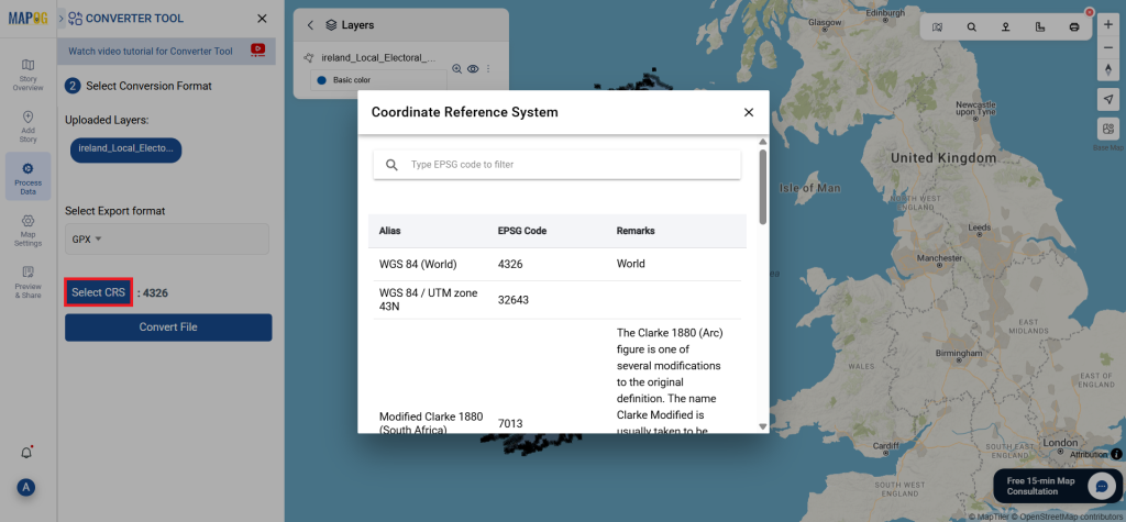
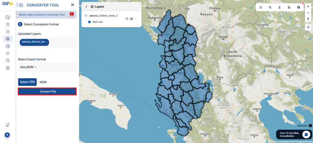
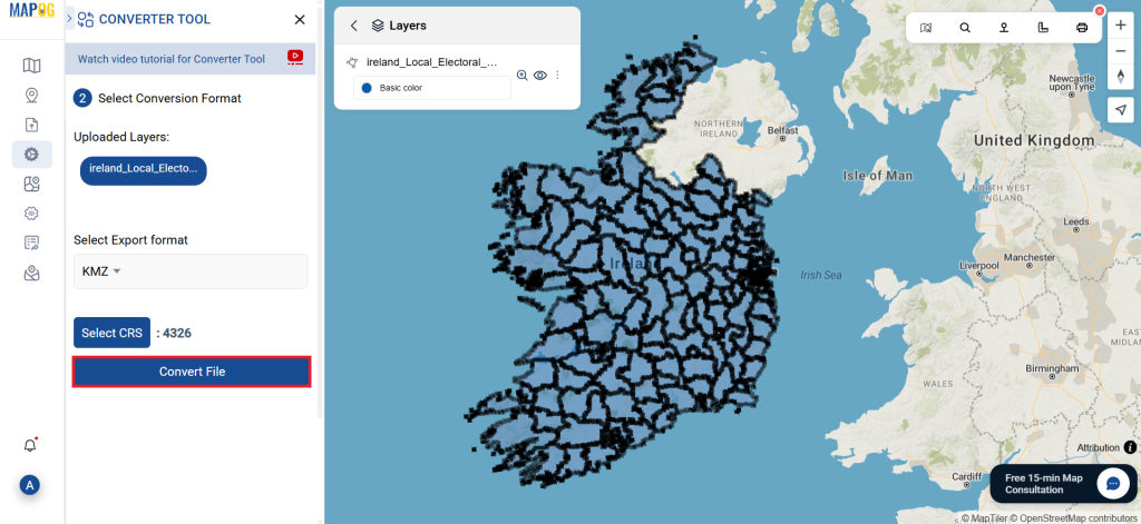
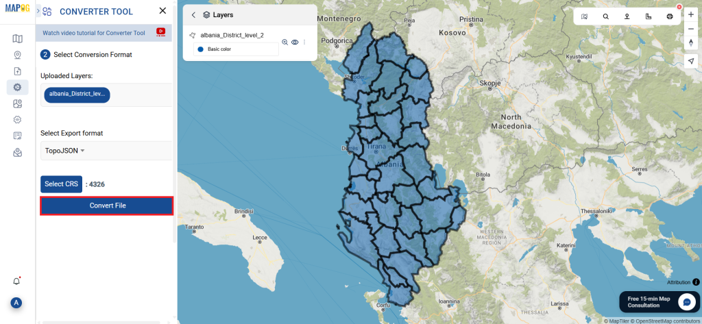
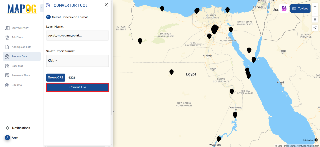
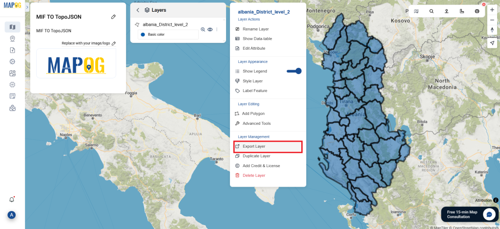
Step 3: Run the Conversion:
Navigate to ‘Convert Files’ and let the tool do its job. By using the Converter Tool, you simply provide your data, and it handles the conversion from SQLITE to GPX format.
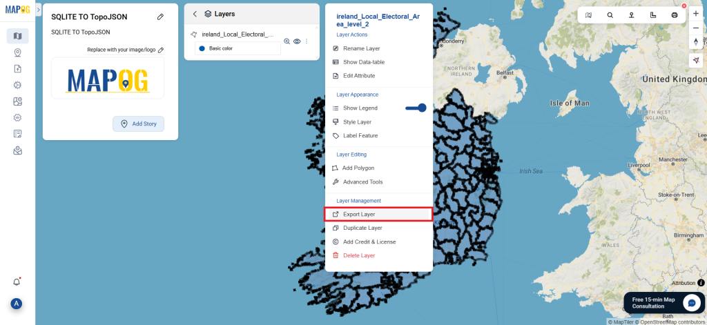
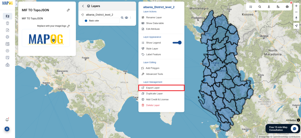
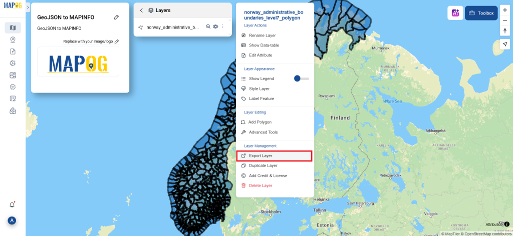
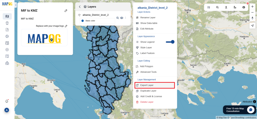
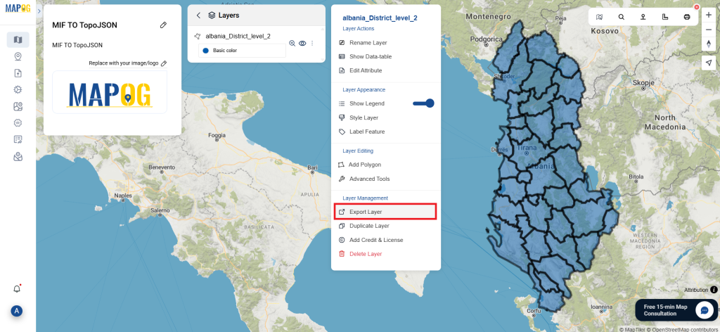
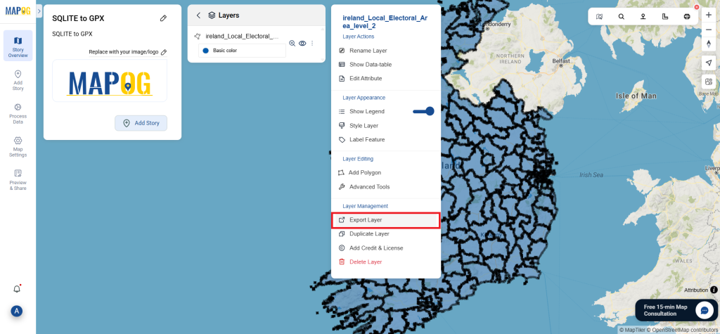
Step 4: Review and Download:
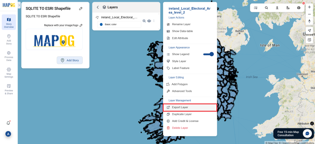
Take a moment to check your converted GPX data to ensure everything is accurate. Once you’re satisfied with the results, proceed to download the file. This step is crucial to verify that the conversion was successful and that all your data is correctly preserved.
With MAPOG’s versatile toolkit, you can effortlessly upload vectors and upload Excel or CSV data, incorporate existing layers, perform polygon splitting, use the converter for various formats, calculate isochrones, and utilize the Export Tool.
You might also find these blogs helpful:
- Convert Online GIS data : KML to PDF file
- Converting KML to GeoTIFF , Online Gis Data Converter
- Converting KMZ to SHP : Online GIS Data Conversion
- Converting TopoJSON to SHP Online : GIS Data Converter
- Converting GeoJSON to TopoJSON with MAPOG
- Converting GeoJSON to CSV with MAPOG
- Converting KMZ to KML with MAPOG
- Converting GML to KML with MAPOG
- Convert KMZ to TopoJSON Online
- Converting KMZ to GeoJSON Online
- Convert KML to MID Online