In this article we are discussing about converting HDF5 to Geotiff file format. The question may arise in your mind that why would anyone convert HDF5 data into geotiff. The answer is simple, not every server or software support HDF5 data so for that you need to install some plug-ins that may take time in your analysis process.
Online Tool to Convert HDF5 to GeoTiff
Convert HDF5 to Geotiff
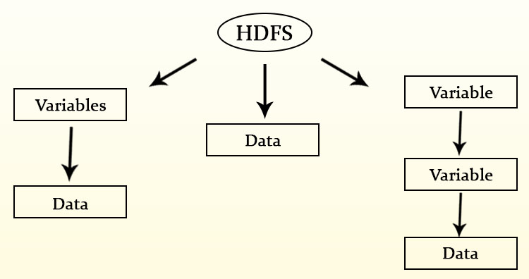
HDF5 (Hierarchical Data Format) file is Multi-Dimensional data that contains data in hierarchical format. That means in one file we have multiple bands and that bands also contains sub bands. That can defines as a tree type structure. You may look over details in multidimensional HDF5 Data.
Convert HDF5 to Geotiff using GDAL utility-
Here we have used GDAL Utility that is gdal_translate. For using this utility you need to add GDAL in your system. please follow the given command
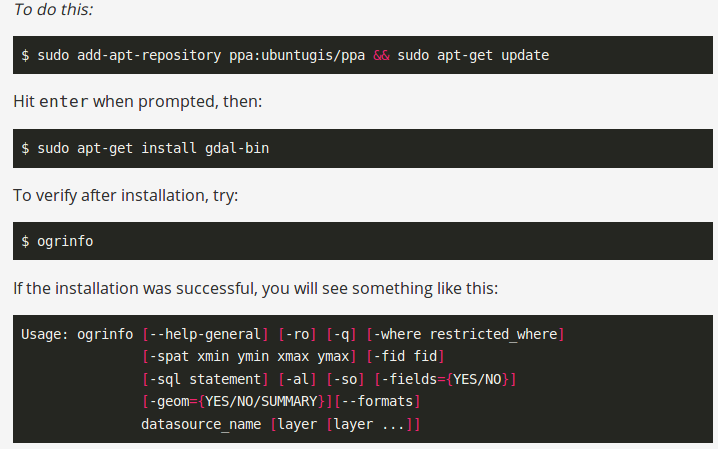
To check the availability you can type ogr2ogr in command prompt and get the following result.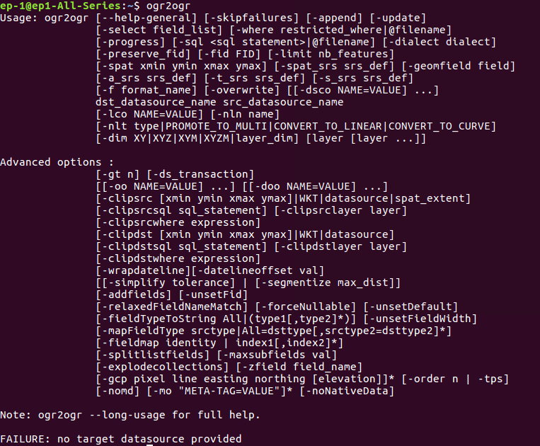
After setting the GDAL utility in system, you can run the conversion command for HDF5 file, which is
–> gdal_translate -a_srs EPSG:4326 HDF5:File_name.hdf5:BAND_Name -of ‘Gtiff’ Output_FileName.geotiff
Gdal_translate has some options, which can be seen by typing gdal_translate in your command prompt.
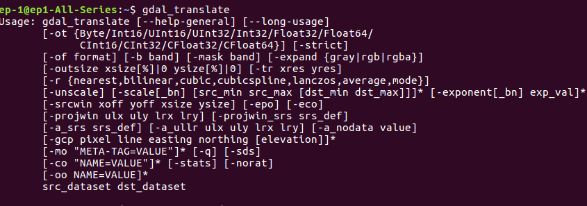
Here, in the command we have -a_srs to assign SRS (spatial reference system) , specify the HDF5 file with band. the option -of ‘Gtiff’ shows the output file format.
You may also look for other conversion to GeoTiff i.e from NetCDF to GeoTIFF or from Grib to GeoTIFF file.
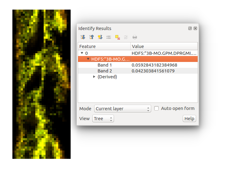
Output In QGIS software- Convert HDF5 to Geotiff
Please let us know, if you face any problem or require any help in conversion by commenting in given comment box.
