Google Maps is reaching the heights of the Perfection in providing services to its users, Google Maps is one of the largest location service provider. They have again putted some features to make its use easy and flexible which will obviously make its users happy. We can use the Google maps in three different ways too. Types of Google Maps – Road Map, Satellite Map, Terrain Map.
So, there are enormous use of all the three. Road Map has its own important features, Satellite View can also be very fruitful for Google Maps users, and the Terrain, it is also the greatly used Map of Google Maps.
You may check all features covered under one article for Google Map.
Types of Google Maps – Road Map, Satellite Map, Terrain Map:
Basically, we have three types of Maps which are as follows :
- Road Map

- Satellite Map

- Terrain Map.

Let us discuss all the features, good, bad and everything about these Google Maps Layers.
Road Map – Types of Google Maps
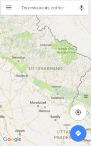
Road map Basically is the Map which we see which we visualize when we open the Google Maps. It is the Normal and general Map which helps us to Navigate,to find location through roads, it is the basic version of the maps.
We can also use the Road maps to mark the places,for voice navigations and all the other features can be used through it. It is one of the simplest way to find out the routes,locations, making our own route and what not.
Satellite Map – Types of Google Maps:
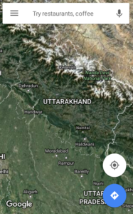
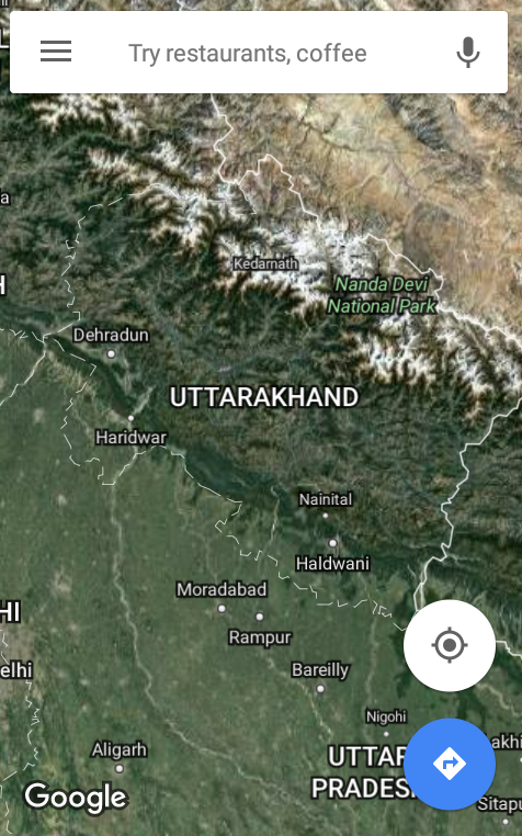
Satellite Maps gives the imagery view of any location or area . It shows how a place would look like from satellite. These kind of maps are more certain and reliable ,they shows us the best possible ways to any location.
As it shows how the earth or part of earth will look like it makes easy for us to find out the area or location which we wish to know or which we want to visit, it gives the real image of the area , such that we can easily use this.
We can easily use all the features of google Maps in satellite view as well, like WIFI use only, add stop in between the route and everything else can be done with the satellite map.
Terrain Map – Types of Google Maps:
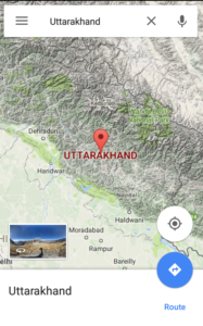
Terrain Maps are useful for every Individual. Terrain Maps are the ones which makes us identify the terrain area or mountain area easily, they are shaded with the stone color or brown color to make them identify easily.
This useful terrain Map can be used by any individual user of Google Maps, and it also supports all the features of Google Maps like Label the locations.
45 degree imagery – Types of Google Map:
The Google Maps provide 45 degree image resolution. This high resolution maps provide perspective view for each direction ,these images are available at higher Zoom level for the maps type supported.
So,these are the three Types of Maps which can be used by any individual for their convenience they allow you to access all the features of google maps . Now that you know about the type of maps , use them and do let us know your experience by commenting in the comment box.

Why are there different map types on google, does each serve a specific purpose, from what I read here porobakly yes. But the other bigger question I’m curious about does say something about the users? Ie does each different humans with different cognitive ability or level of intellect has any correlation with the use of specific maps. Ie I like to not think much so I use default, my cousin likes to have a more visual with more details so he uses satellite.
I’m looking if there’s any research that’s been done based on the user data. I’m sure there is however the issue is that only google itself would have access and conducted such studies and researches leading to the rest of us not knowing much about them.
What are your thoughts, have you ever thought about this, if yes mind sharing with me your thoughts and links to articles that I might have missed finding?